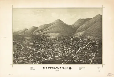
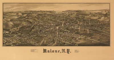
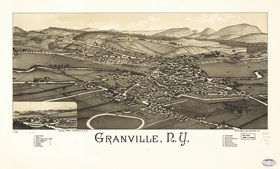
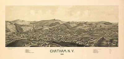
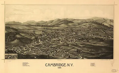
Rome, New York, 1886 – Antique Wall Map

(Originally scanned by the Library of Congress. Each image is professionally and digitally cleaned of artifacts such as color bars and extra borders prior to printing.)
Description
This rare antique map captures Rome, New York, 1886 in remarkable detail. An authentic image from the Library of Congress, it carries the weight of the real historical record.
Library of Congress record: Rome, N.Y.
Order it framed and ready to hang, or unframed to match a frame you already love. Perfect for a home, office, library or classroom wall, and a gift with a story behind it. Free shipping in the lower 48 states. Since 2001, Snapshots of the Past has shipped historic prints to tens of thousands of customers around the world.
Rome, New York, 1886
Order a print
Thank you. Your order went through, and a receipt is on its way by email.
Secure checkout · SSL encryptedPowered by Stripe and PayPal
Free shipping in the lower 48 states. The checkout page shows the picture, size and price before you pay.
Rome, New York, in 1886 was a canal and rail town in Oneida County, set where the Erie Canal and the Black River Canal met near the Mohawk Valley's old military ground. Its streets were laid over the remains of Fort Stanwix, the Revolutionary War post whose 1777 siege was still part of local memory, and residents took pride in that history alongside the work of the present day. Barge traffic on the canals and freight on the lines running through the village supported mills and metal works, and copper and brass production gave the place much of its industrial character. The view would have shown a community that people in the region knew for its manufacturing and for its place in the state's transportation network.
| Created / published | 1886 |
|---|---|
| Creator | beck & pauli, burleigh, l. r. |
| Notes | Bird's-eye view map. |
| Subjects | Panoramic maps--New York |
| Source | Library of Congress, Panoramic Maps |
| Original scan | 10,624 × 5,456 px · prints to 35 × 18 in at 300 dpi |
| Library of Congress title | Rome, N.Y. |
| Reference | NY Rome 1886 |
More from the Panoramic Maps collection
Snapshots of the Past helps heritage brands, museums, historians and storytellers tell stories with history: historic prints, image licensing and historical storytelling drawn from more than 25 years of research and curation.