RR from Rome to Albany and Troy, New York, 1845 – Vintage Map Wall Art

(Each image is professionally and digitally cleaned of artifacts such as color bars and extra borders prior to printing.)
Description
This antique map of RR from Rome to Albany and Troy, New York, 1845 brings a moment of history to your wall. Drawn from the Snapshots of the Past archive, it is an authentic piece of documented history.
The framed print arrives ready to hang; the unframed option suits custom framing. It brings character to any room and makes a memorable gift. Free shipping in the lower 48 states. Snapshots of the Past, founded in 2001, has served tens of thousands of customers worldwide.
RR from Rome to Albany and Troy, New York, 1845
Order a print
Thank you. Your order went through, and a receipt is on its way by email.
Secure checkout · SSL encryptedPowered by Stripe and PayPal
Free shipping in the lower 48 states. The checkout page shows the picture, size and price before you pay.
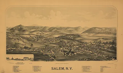
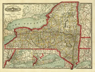
This 1845 bird's-eye map shows the rail line that linked Rome, in Oneida County, with Albany and Troy on the Hudson, routes that carried passengers and freight across central New York. In the 1840s the Erie Canal still moved most upstate goods, and Rome sat on the canal near the old Fort Stanwix site, where Revolutionary War fighting had taken place. Railroads were pushing into the Mohawk Valley to reach the Hudson ports, which handled grain, lumber, and manufactured goods bound for New York City. Albany was the state capital, home to the legislature and government offices, while Troy was a growing iron and stove-making center that also drew students to Rensselaer Polytechnic, founded in 1824. Residents of the time would have known the line as a faster link between the interior and the river than the canal boats could offer.
| Created / published | 1845 |
|---|---|
| Notes | Bird's-eye view map. |
| Subjects | Panoramic maps--New York |
| Original scan | 14,128 × 2,096 px · prints to 47 × 7 in at 300 dpi |
| Reference | NY RR from Rome to Albany and Troy 1845 |
More from the Panoramic Maps collection
Snapshots of the Past helps heritage brands, museums, historians and storytellers tell stories with history: historic prints, image licensing and historical storytelling drawn from more than 25 years of research and curation.