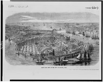
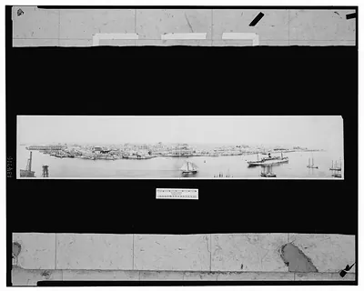
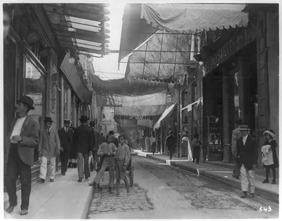
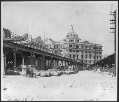
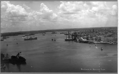
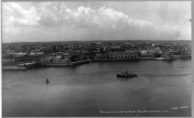
A Bird's-eye view of Havana. A bird's-eye view of the waterfront at Havana, Cuba, made by a Naval aviator skimming the skies above Cuba's capital. The view shown here is looking northwest along the waterfront and business district – Historic Map Reproduction

(Originally scanned by the Library of Congress. Each image is professionally and digitally cleaned of artifacts such as color bars and extra borders prior to printing.)
Description
Few images capture their era like this historic photograph of A Bird's-eye view of Havana. A bird's-eye view of the waterfront at Havana, Cuba, made by a Naval aviator skimming the skies above Cuba's capital. The view shown here is looking northwest along the waterfront and business district. Sourced directly from the Library of Congress, it represents an authentic piece of documented history.
The framed print arrives ready to hang; the unframed option suits custom framing. It brings character to any room and makes a memorable gift. Free shipping in the lower 48 states. Snapshots of the Past has been bringing history to the wall since 2001, for tens of thousands of customers worldwide.
A Bird's-eye view of Havana. A bird's-eye view of the waterfront at Havana, Cuba, made by a Naval aviator skimming the skies above Cuba's capital. The view shown here is looking northwest along the waterfront and business district
Order a print
Thank you. Your order went through, and a receipt is on its way by email.
Secure checkout · SSL encryptedPowered by Stripe and PayPal
Free shipping in the lower 48 states. The checkout page shows the picture, size and price before you pay.
Taken from the air by a Naval aviator, this view looks northwest along Havana's waterfront and business district, so the city's harbor edge and dense street grid spread out below the camera. Aerial photography was still new in the 1920s, and naval flyers were among the first to use planes to map coastlines and port cities like this one. The picture shows how Havana's commercial core met the sea, a relationship that shaped the city's trade and daily life for centuries. Its date, late August in the 1920s, places it during a period of heavy American commercial and naval interest in the Caribbean.
| Created / published | [192-] Aug. 31. |
|---|---|
| Medium | 1 photographic. print. |
| Genre | Aerial photographs 1920-1930.Photographic.prints 1920-1930. |
| Notes | No. 57345 RU. |
| Subjects | Waterfronts--Cuba--Havana--1920-1930. Havana (Cuba)--1920-1930. |
| Source | Library of Congress, Prints and Photographs Division |
| Original scan | 1,536 × 1,099 px · prints to 5 × 4 in at 300 dpi |
| Reference | AMZ-SOTP-HPA-167658 |
More from the Latin America collection
Snapshots of the Past helps heritage brands, museums, historians and storytellers tell stories with history: historic prints, image licensing and historical storytelling drawn from more than 25 years of research and curation.