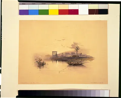
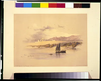
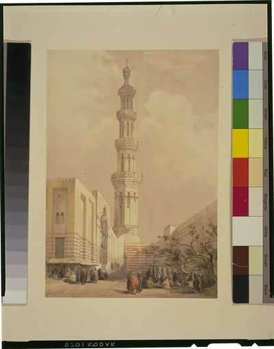
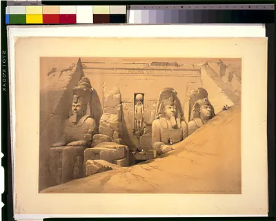
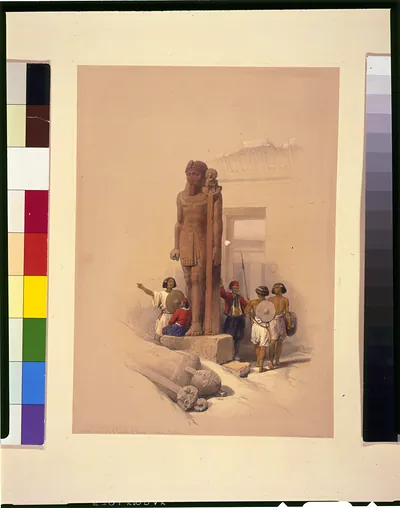
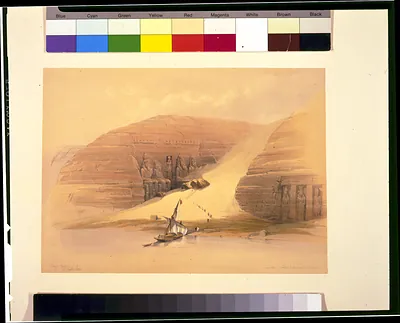
Map to illustrate the sketches of Egypt and Nubia, 1849. Obelisk of Heliopolis 1839 / David Roberts, R.A. – Vintage Map Wall Art

(Originally scanned by the Library of Congress. Each image is professionally and digitally cleaned of artifacts such as color bars and extra borders prior to printing.)
Description
This rare antique map captures Map to illustrate the sketches of Egypt and Nubia, 1849. Obelisk of Heliopolis 1839 / David Roberts, R.A. in remarkable detail. It comes from the collections of the Library of Congress, scanned from the original and carefully restored.
Order it framed and ready to hang, or unframed to match a frame you already love. A conversation-starting piece for home, office, or as a meaningful gift. Free shipping in the lower 48 states. Snapshots of the Past has been bringing history to the wall since 2001, for tens of thousands of customers worldwide.
Map to illustrate the sketches of Egypt and Nubia, 1849. Obelisk of Heliopolis 1839 / David Roberts, R.A.
Order a print
Thank you. Your order went through, and a receipt is on its way by email.
Secure checkout · SSL encryptedPowered by Stripe and PayPal
Free shipping in the lower 48 states. The checkout page shows the picture, size and price before you pay.
The lone obelisk still standing at Heliopolis, the ancient city the Greeks called by that name and the Egyptians knew as Iunu, is the subject that sets this plate apart from the other views in the series. David Roberts sketched it during his 1838 to 1839 journey through Egypt and Nubia, and the stone monument, more than 3,900 years old, still stands in northeastern Cairo. The lithograph was made by Louis Haghe and issued by F. G. Moon in London as part of the second volume of *Egypt & Nubia*, published between 1846 and 1849. Its map-style title shows how the publisher paired such views with geographic guides for readers.
| Created / published | [published between 1846 and 1849] |
|---|---|
| Medium | 1 print : lithograph, color. |
| Genre | Book illustrations 1840-1850.Lithographs Color 1840-1850. |
| Notes | Illus. in: Egypt & Nubia / from drawings made on the spot by David Roberts ... ; lithographed by Louis Haghe. London : F.G. Moon, 1846-1849, v. 2, pt. 0. |
| Source | Library of Congress, Prints and Photographs Division |
| Original scan | 1,172 × 1,484 px · prints to 4 × 5 in at 300 dpi |
| Reference | AMZ-SOTP-HPA-217979 |
More from the Middle East & Holy Land collection
Snapshots of the Past helps heritage brands, museums, historians and storytellers tell stories with history: historic prints, image licensing and historical storytelling drawn from more than 25 years of research and curation.