Aerial view of the U.S. Capitol and surrounding city – Historic Photo Reproduction

(Each image is professionally and digitally cleaned of artifacts such as color bars and extra borders prior to printing.)
Description
Aerial view of the U.S. Capitol and surrounding city comes to life in this historic image, reproduced from the original with every detail intact. It is part of the Snapshots of the Past archive, gathered over 25 years of research.
Framed, it is ready for the wall; unframed, it is ready for the frame you choose. A fine choice for anyone who loves history, and a gift that gets noticed. Free shipping in the lower 48 states. Snapshots of the Past has been bringing history to the wall since 2001, for tens of thousands of customers worldwide.
Aerial view of the U.S. Capitol and surrounding city
Order a print
Thank you. Your order went through, and a receipt is on its way by email.
Secure checkout · SSL encryptedPowered by Stripe and PayPal
Free shipping in the lower 48 states. The checkout page shows the picture, size and price before you pay.
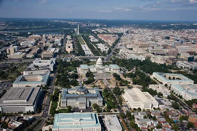
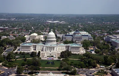
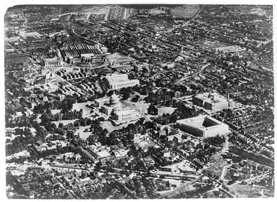
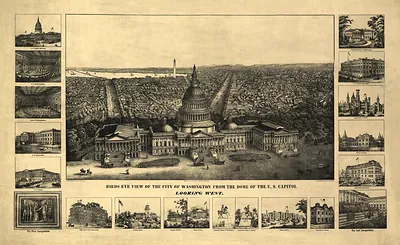
The Capitol dome rises from the middle of this aerial view, with the rest of Washington spreading out in every direction around it. Set against the grid of streets and open green spaces, the building shows how the city was laid out around the legislative center from the start. Pictures taken from the air like this one became common in the twentieth century, when aircraft made it possible to see the city's plan as a whole. Notice how the Mall stretches west from the building toward the Washington Monument, a design shaped by Pierre L'Enfant's original 1791 plan.
| Original scan | 6,150 × 4,096 px · prints to 20 × 14 in at 300 dpi |
|---|---|
| Reference | 01907u |
More from the U.S. Capitol collection
Snapshots of the Past helps heritage brands, museums, historians and storytellers tell stories with history: historic prints, image licensing and historical storytelling drawn from more than 25 years of research and curation.