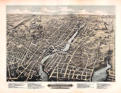
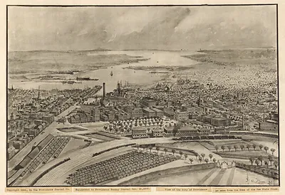
Newport, Rhode Island, 1780 – Antique Wall Map

(Each image is professionally and digitally cleaned of artifacts such as color bars and extra borders prior to printing.)
Description
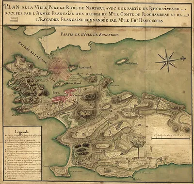
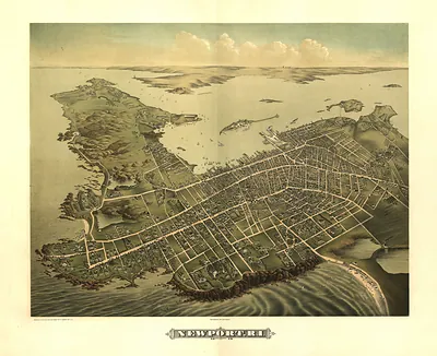
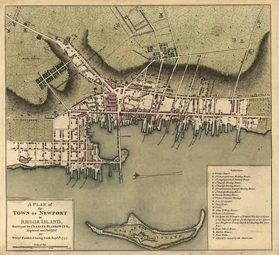
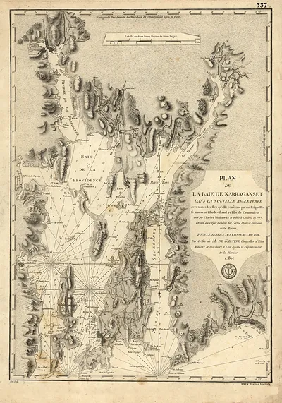
This rare antique map captures Newport, Rhode Island, 1780 in remarkable detail. It is part of the Snapshots of the Past archive, gathered over 25 years of research.
Order it framed and ready to hang, or unframed to match a frame you already love. Perfect for a home, office, library or classroom wall, and a gift with a story behind it. Free shipping in the lower 48 states. Snapshots of the Past, founded in 2001, has served tens of thousands of customers worldwide.
Newport, Rhode Island, 1780
Order a print
Thank you. Your order went through, and a receipt is on its way by email.
Secure checkout · SSL encryptedPowered by Stripe and PayPal
Free shipping in the lower 48 states. The checkout page shows the picture, size and price before you pay.
Newport, Rhode Island, in 1780 was a seaport whose prewar commerce had not recovered, and the map's rows of wharves and merchant houses reflected a trade that had shrunk since the 1760s. Aaron Lopez, one of the town's leading shipping merchants, had moved his business to Leicester, Massachusetts, in 1773, and other families had left as the Revolution tightened its grip on the port. Ezra Stiles, the Congregational minister, had departed for the mainland in 1776 when the British took the town, and his congregation was scattered. Residents knew the harbor as a place of idle docks and fewer neighbors, even as the steeples, the wood-frame and brick houses, and the Touro Synagogue still stood along the streets.
| Created / published | 1780 |
|---|---|
| Notes | Bird's-eye view map. |
| Subjects | Panoramic maps--Rhode Island |
| Original scan | 3,540 × 1,770 px · prints to 12 × 6 in at 300 dpi |
| Reference | RI-Newport 1780b |
More from the Panoramic Maps collection
Snapshots of the Past helps heritage brands, museums, historians and storytellers tell stories with history: historic prints, image licensing and historical storytelling drawn from more than 25 years of research and curation.