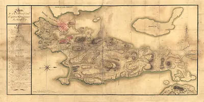
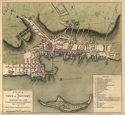
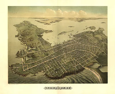
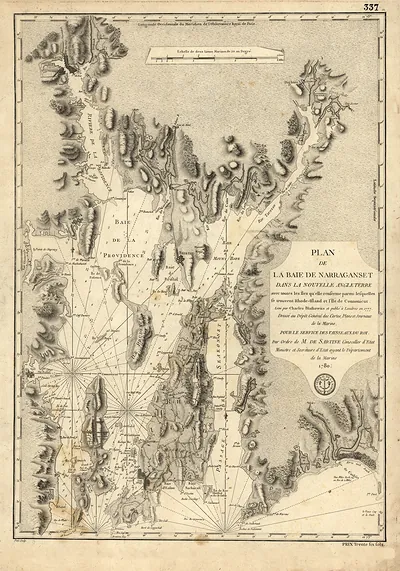
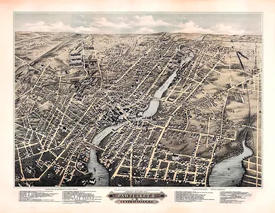
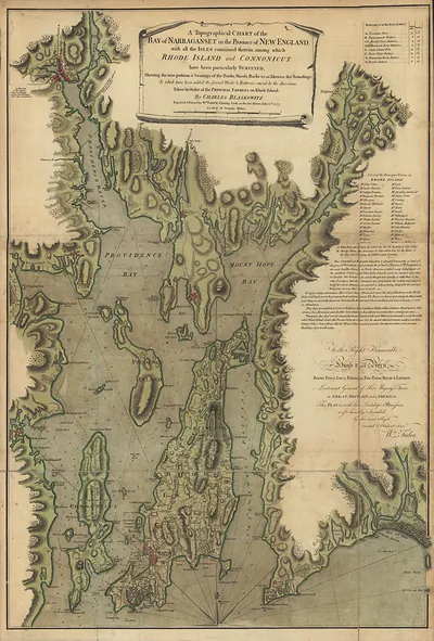
Newport, Rhode Island, 1780 – Antique Wall Map

(Each image is professionally and digitally cleaned of artifacts such as color bars and extra borders prior to printing.)
Description
This rare antique map captures Newport, Rhode Island, 1780 in remarkable detail. It is part of the Snapshots of the Past archive, gathered over 25 years of research.
Choose the framed print, ready to hang the day it arrives, or the unframed print for a frame of your own. It brings character to any room and makes a memorable gift. Free shipping in the lower 48 states. Snapshots of the Past, founded in 2001, has served tens of thousands of customers worldwide.
Newport, Rhode Island, 1780
Order a print
Thank you. Your order went through, and a receipt is on its way by email.
Secure checkout · SSL encryptedPowered by Stripe and PayPal
Free shipping in the lower 48 states. The checkout page shows the picture, size and price before you pay.
Newport, Rhode Island, in 1780 was a town still recovering from its years under British control, which ended when the redcoats sailed out in October 1779. Many houses and wharves had suffered damage during the occupation, and the population remained far below its prewar size. In July 1780 a French fleet under Admiral Ternay anchored in the harbor carrying Rochambeau's army, and several thousand French soldiers came ashore to make the town an allied base. Residents who had watched their waterfront serve the Royal Navy now saw it crowded with foreign warships, supply wagons, and officers quartered in their homes.
| Created / published | 1780 |
|---|---|
| Notes | Bird's-eye view map. |
| Subjects | Panoramic maps--Rhode Island |
| Original scan | 1,843 × 1,750 px · prints to 6 × 6 in at 300 dpi |
| Reference | RI-Newport 1780 |
More from the Panoramic Maps collection
Snapshots of the Past helps heritage brands, museums, historians and storytellers tell stories with history: historic prints, image licensing and historical storytelling drawn from more than 25 years of research and curation.