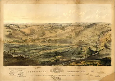
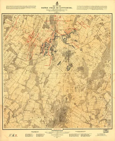
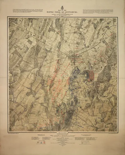
Relief map of the battle field of Gettysburg, looking south – Historic Map Reproduction

(Each image is professionally and digitally cleaned of artifacts such as color bars and extra borders prior to printing.)
Description
Few images capture their era like this antique map of Relief map of the battle field of Gettysburg, looking south. It is part of the Snapshots of the Past archive, gathered over 25 years of research.
Choose the framed print, ready to hang the day it arrives, or the unframed print for a frame of your own. It brings character to any room and makes a memorable gift. Free shipping in the lower 48 states. Snapshots of the Past has been bringing history to the wall since 2001, for tens of thousands of customers worldwide.
Relief map of the battle field of Gettysburg, looking south
Order a print
Thank you. Your order went through, and a receipt is on its way by email.
Secure checkout · SSL encryptedPowered by Stripe and PayPal
Free shipping in the lower 48 states. The checkout page shows the picture, size and price before you pay.
Looking south across the field, this relief map shows the ground that decided the Battle of Gettysburg, fought July 1 to 3, 1863. The raised terrain puts Cemetery Ridge in the middle distance, with Little Round Top and Big Round Top rising beyond it, and the ridgelines that shaped the Union and Confederate lines are easy to trace. Models like this were made to help veterans, visitors and officers understand how the armies had moved over the hills, fields and stone walls. Its southward view also clarifies how Union forces held the high ground at the end of the battle's second day.
| Original scan | 3,000 × 1,598 px · prints to 10 × 5 in at 300 dpi |
|---|---|
| Reference | cw0338500 |
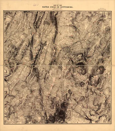
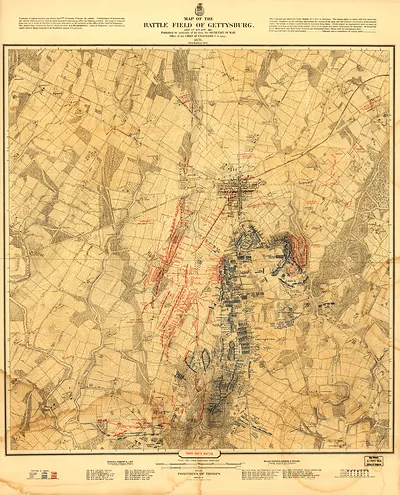
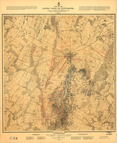
More from the Gettysburg collection
Snapshots of the Past helps heritage brands, museums, historians and storytellers tell stories with history: historic prints, image licensing and historical storytelling drawn from more than 25 years of research and curation.