[Map of Alaska indicating Matanuska area] – Antique Map Print

(Originally scanned by the Library of Congress. Each image is professionally and digitally cleaned of artifacts such as color bars and extra borders prior to printing.)
Description
[Map of Alaska indicating Matanuska area] comes to life in this antique map, reproduced from the original with every detail intact. It comes from the collections of the Library of Congress, scanned from the original and carefully restored.
Framed, it is ready for the wall; unframed, it is ready for the frame you choose. It makes a striking addition to a living room, study or office, and a thoughtful gift. Free shipping in the lower 48 states. Snapshots of the Past has been bringing history to the wall since 2001, for tens of thousands of customers worldwide.
[Map of Alaska indicating Matanuska area]
Order a print
Thank you. Your order went through, and a receipt is on its way by email.
Secure checkout · SSL encryptedPowered by Stripe and PayPal
Free shipping in the lower 48 states. The checkout page shows the picture, size and price before you pay.
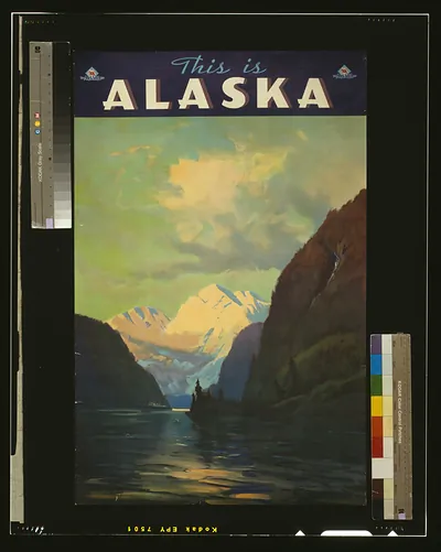
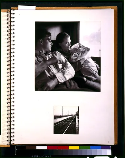
A hand-drawn map in ink and color pencil marks the Matanuska Valley within Alaska, and it was made in May 1935 as part of an album documenting the first rural rehabilitation colonists who left northern Minnesota for the territory. The colonists sailed from San Francisco on May 1, 1935, bound for the Matanuska Valley northeast of Anchorage. The settlement was a New Deal resettlement project meant to give farm families from the hard-hit Midwest a fresh start on land in the north. The map shows how remote the destination was from the families' home states.
| Created / published | [1935 May] |
|---|---|
| Medium | 1 drawing : ink and color pencil. |
| Genre | Maps 1930-1940.Drawings Color 1930-1940. |
| Notes | Surrogate available as color laser copy in P&P Reading Room. In album: First rural rehabilitation colonists, Northern Minnesota to Matanuska Valley, Alaska. Sailed from San Francisco, May 1st, 1935; p [i]. |
| Subjects | Alaska--1930-1940. |
| Source | Library of Congress, Prints and Photographs Division |
| Original scan | 1,169 × 1,474 px · prints to 4 × 5 in at 300 dpi |
| Reference | AMZ-SOTP-HPA-217548 |
More from the Alaska collection
Snapshots of the Past helps heritage brands, museums, historians and storytellers tell stories with history: historic prints, image licensing and historical storytelling drawn from more than 25 years of research and curation.