Global map of eastern hemisphere – Antique Map Print

(Originally scanned by the Library of Congress. Each image is professionally and digitally cleaned of artifacts such as color bars and extra borders prior to printing.)
Description
Step back in time with Global map of eastern hemisphere, an antique map rich in period detail. An authentic image from the Library of Congress, it carries the weight of the real historical record.
Order it framed and ready to hang, or unframed to match a frame you already love. Perfect for a home, office, library or classroom wall, and a gift with a story behind it. Free shipping in the lower 48 states. Snapshots of the Past, founded in 2001, has served tens of thousands of customers worldwide.
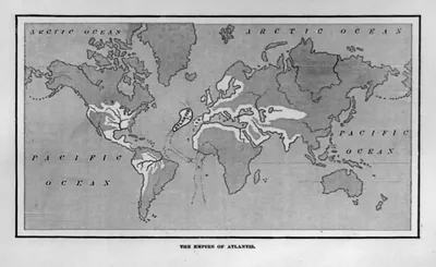
Global map of eastern hemisphere
Order a print
Thank you. Your order went through, and a receipt is on its way by email.
Secure checkout · SSL encryptedPowered by Stripe and PayPal
Free shipping in the lower 48 states. The checkout page shows the picture, size and price before you pay.
Rather than a single landmark, this engraving sets the whole eastern hemisphere on one sheet, and its caption tracings tie it to James Cook's Pacific voyages, with the Society Islands and New Zealand among the places named. Cook made three voyages between 1768 and 1779, and the artists who sailed with him recorded coastlines, peoples and customs that few Europeans had seen. The card also lists a folk dance, a reminder that these expeditions turned encounters into images. The print is reproduced in Anthony Murray-Oliver's study of those artists, which is a useful place to check its origins.
| Created / published | [no date recorded on caption card] |
|---|---|
| Medium | 1 print : engraving. |
| Subjects | Illus. in: Anthony Murray-Oliver, Captain Cook's Artists in the Pacific. This record contains unverified, old data from caption card. Caption card tracings: B.I. (James Cook); Explorations; Dance--Folk; Society Islands; New Zeland; Maps. |
| Source | Library of Congress, Prints and Photographs Division |
| Original scan | 1,536 × 1,092 px · prints to 5 × 4 in at 300 dpi |
| Reference | AMZ-SOTP-HPA-171174 |
More from the Historic Print Archive collection
Snapshots of the Past helps heritage brands, museums, historians and storytellers tell stories with history: historic prints, image licensing and historical storytelling drawn from more than 25 years of research and curation.