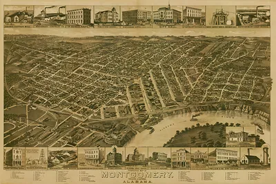
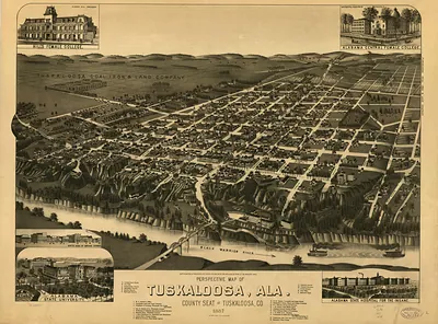
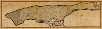
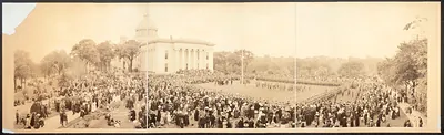
AL Selma 1887 MAP – Antique Map Print

(Each image is professionally and digitally cleaned of artifacts such as color bars and extra borders prior to printing.)
Description
Step back in time with AL Selma 1887 MAP, an antique map rich in period detail. It comes from the Snapshots of the Past collection, curated over 25 years for its historical value.
Choose the framed print, ready to hang the day it arrives, or the unframed print for a frame of your own. It brings character to any room and makes a memorable gift. Free shipping in the lower 48 states. Snapshots of the Past, founded in 2001, has served tens of thousands of customers worldwide.
AL Selma 1887 MAP
Order a print
Thank you. Your order went through, and a receipt is on its way by email.
Secure checkout · SSL encryptedPowered by Stripe and PayPal
Free shipping in the lower 48 states. The checkout page shows the picture, size and price before you pay.
This 1887 map shows Selma, Alabama, a river town on the Alabama River that had become one of the state's main commercial and manufacturing centers by the late nineteenth century. Union forces had burned much of its industrial works in April 1865, and the map captures the town during its postwar recovery. Selma is now best known as the starting point of the Selma to Montgomery National Historic Trail, the route marchers followed in 1965, so the map shows the city decades before that march.
| Created / published | 1887 |
|---|---|
| Original scan | 10,592 × 6,624 px · prints to 35 × 22 in at 300 dpi |
| Reference | AL-Selma-1887 |
More from the More National Park Sites collection
Snapshots of the Past helps heritage brands, museums, historians and storytellers tell stories with history: historic prints, image licensing and historical storytelling drawn from more than 25 years of research and curation.