Experiencing the Landscape: Yellowstone Environmental Zones Diagram – Vintage Print

(Each image is professionally and digitally cleaned of artifacts such as color bars and extra borders prior to printing.)
Description
This historic image of Experiencing the Landscape: Yellowstone Environmental Zones Diagram brings a moment of history to your wall. Drawn from the Snapshots of the Past archive, it is an authentic piece of documented history.
Framed, it is ready for the wall; unframed, it is ready for the frame you choose. A fine choice for anyone who loves history, and a gift that gets noticed. Free shipping in the lower 48 states. Snapshots of the Past, founded in 2001, has served tens of thousands of customers worldwide.
Experiencing the Landscape: Yellowstone Environmental Zones Diagram
Order a print
Thank you. Your order went through, and a receipt is on its way by email.
Secure checkout · SSL encryptedPowered by Stripe and PayPal
Free shipping in the lower 48 states. The checkout page shows the picture, size and price before you pay.
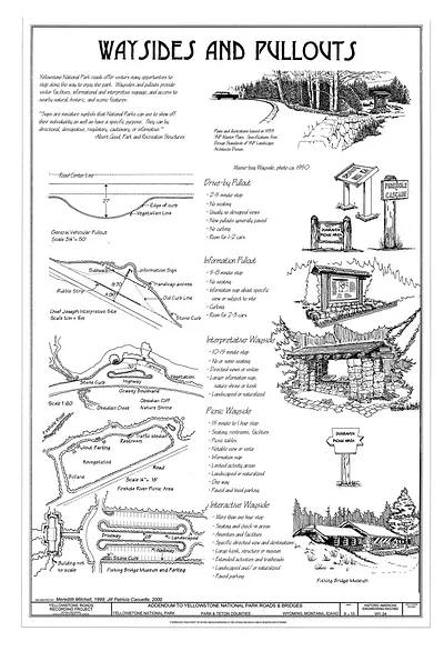
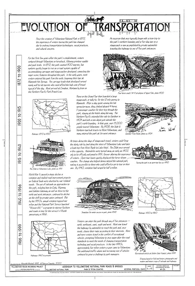
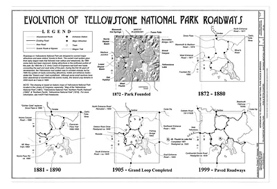
Rather than showing one scene, this diagram sorts Yellowstone's terrain into bands by elevation, running from sagebrush valleys through lodgepole pine and spruce-fir forest up to alpine tundra on the high ridges. Its title points to the road network, which carries visitors through several of these zones in a single day. Yellowstone became the first national park in 1872, and a chart like this shows why its volcanic plateau, geysers and wildlife habitat change so sharply from one elevation to the next.
| Original scan | 9,798 × 14,438 px · prints to 33 × 48 in at 300 dpi |
|---|---|
| Reference | Yellowstone Roads & Bridges, Yellowstone National Park, Teton, WY 8 |
More from the Yellowstone collection
Snapshots of the Past helps heritage brands, museums, historians and storytellers tell stories with history: historic prints, image licensing and historical storytelling drawn from more than 25 years of research and curation.