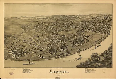
Mc Donald, Pennsylvania, 1897 – Antique Wall Map

(Originally scanned by the Library of Congress. Each image is professionally and digitally cleaned of artifacts such as color bars and extra borders prior to printing.)
Description
This antique map of Mc Donald, Pennsylvania, 1897 brings a moment of history to your wall. The original is held by the Library of Congress, so what you hang is a true record of its time.
Library of Congress record: McDonald, Washington County, Pennsylvania 1897
Order it framed and ready to hang, or unframed to match a frame you already love. It makes a striking addition to a living room, study or office, and a thoughtful gift. Free shipping in the lower 48 states. Since 2001, Snapshots of the Past has shipped historic prints to tens of thousands of customers around the world.
Mc Donald, Pennsylvania, 1897
Order a print
Thank you. Your order went through, and a receipt is on its way by email.
Secure checkout · SSL encryptedPowered by Stripe and PayPal
Free shipping in the lower 48 states. The checkout page shows the picture, size and price before you pay.
In 1897, McDonald was a small coal town in the bituminous fields of southwestern Pennsylvania, where the economy rested on mines that dug the high-grade seams running under Washington and Allegheny counties. Most households depended on wages from the pits, and many of the miners were recent immigrants from southern and eastern Europe who had come to work the coal. Mining towns in the region were often built quickly around a single company's operations, with rows of houses, a store, and a church or two close to the shafts. The same year brought labor unrest across the Pennsylvania coalfields, and wage disputes and strikes shaped daily life for families who measured their security by the next paycheck. For residents of the period, McDonald would have been known first as a mining community, its fortunes tied to the price of coal and the state of the nearby rail lines that carried it to market.
| Created / published | 1897 |
|---|---|
| Creator | moyer, james b., fowler, t. m. (thaddeus mortimer) |
| Notes | Bird's-eye view map. |
| Subjects | Panoramic maps--Pennsylvania |
| Source | Library of Congress, Panoramic Maps |
| Original scan | 7,472 × 5,224 px · prints to 25 × 17 in at 300 dpi |
| Library of Congress title | McDonald, Washington County, Pennsylvania 1897 |
| Reference | PA-McDonald-1897 |
More from the Panoramic Maps collection
Snapshots of the Past helps heritage brands, museums, historians and storytellers tell stories with history: historic prints, image licensing and historical storytelling drawn from more than 25 years of research and curation.