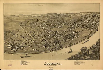
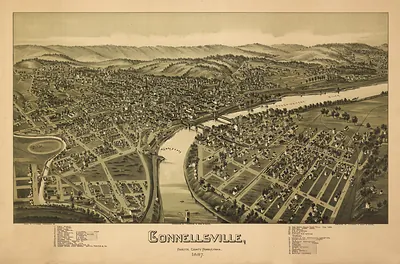
irwin, Pennsylvania, 1897 – Vintage Map Wall Art

(Originally scanned by the Library of Congress. Each image is professionally and digitally cleaned of artifacts such as color bars and extra borders prior to printing.)
Description
Few images capture their era like this antique map of irwin, Pennsylvania, 1897. Sourced directly from the Library of Congress, it represents an authentic piece of documented history.
Library of Congress record: Irwin, Pennsylvania 1897
Framed, it is ready for the wall; unframed, it is ready for the frame you choose. A conversation-starting piece for home, office, or as a meaningful gift. Free shipping in the lower 48 states. Snapshots of the Past has been bringing history to the wall since 2001, for tens of thousands of customers worldwide.
irwin, Pennsylvania, 1897
Order a print
Thank you. Your order went through, and a receipt is on its way by email.
Secure checkout · SSL encryptedPowered by Stripe and PayPal
Free shipping in the lower 48 states. The checkout page shows the picture, size and price before you pay.
Irwin, a borough in Westmoreland County, Pennsylvania, sat in 1897 near the bituminous coal seams that supplied the region's furnaces and coke ovens. The Connellsville coke district lay to the south and the iron and steel works of Pittsburgh to the north, so the town's prospects tracked those heavy industries. Rail lines, including the Pennsylvania Railroad's route through the county, carried coal, coke, and farm goods out and brought supplies in. Residents would have known Irwin as a working community where churches, schools, and lodges gave shape to daily life. This 1897 bird's-eye view records the borough's streets and rail connections as they stood at the close of the nineteenth century.
| Created / published | 1897 |
|---|---|
| Creator | moyer, james b., fowler, t. m. (thaddeus mortimer) |
| Notes | Bird's-eye view map. |
| Subjects | Panoramic maps--Pennsylvania |
| Source | Library of Congress, Panoramic Maps |
| Original scan | 7,992 × 5,520 px · prints to 27 × 18 in at 300 dpi |
| Library of Congress title | Irwin, Pennsylvania 1897 |
| Reference | PA-irwin-1897 |
More from the Panoramic Maps collection
Snapshots of the Past helps heritage brands, museums, historians and storytellers tell stories with history: historic prints, image licensing and historical storytelling drawn from more than 25 years of research and curation.