Map of the Yellowstone National Park – Antique Map Print

(Each image is professionally and digitally cleaned of artifacts such as color bars and extra borders prior to printing.)
Description
A window into the past: Map of the Yellowstone National Park, preserved in this antique map. It is part of the Snapshots of the Past archive, gathered over 25 years of research.
Framed, it is ready for the wall; unframed, it is ready for the frame you choose. It brings character to any room and makes a memorable gift. Free shipping in the lower 48 states. Snapshots of the Past, founded in 2001, has served tens of thousands of customers worldwide.
Map of the Yellowstone National Park
Order a print
Thank you. Your order went through, and a receipt is on its way by email.
Secure checkout · SSL encryptedPowered by Stripe and PayPal
Free shipping in the lower 48 states. The checkout page shows the picture, size and price before you pay.
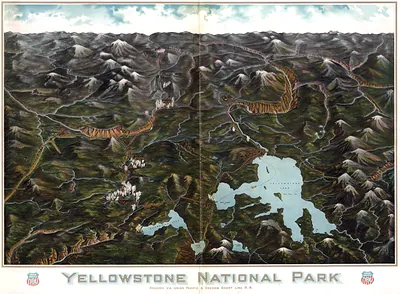
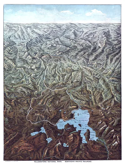
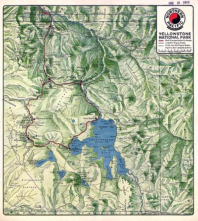
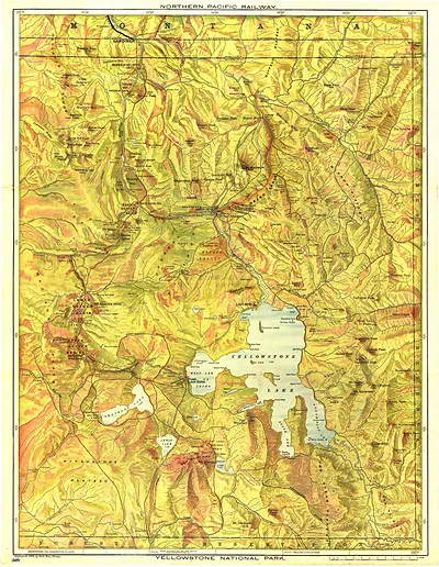
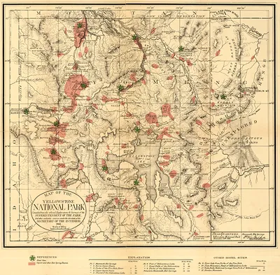
Few places on a 19th-century map show as much unfamiliar terrain as Yellowstone did in 1881, when the region was only nine years into its life as the first national park, established in 1872. Surveyors and explorers were still filling in its rivers, lakes and mountain ranges, so the sheet reflects a landscape that was only partly charted. Its geysers, canyons and boundary lines show how the government was beginning to define and protect the area. Notice the careful lettering and the way the features are arranged, which reveal how mapmakers of the period tried to make a remote wilderness legible to readers far away.
| Created / published | 1881 |
|---|---|
| Original scan | 3,000 × 2,950 px · prints to 10 × 10 in at 300 dpi |
| Reference | Map of the Yellowstone National Park. 1881 |
More from the Yellowstone collection
Snapshots of the Past helps heritage brands, museums, historians and storytellers tell stories with history: historic prints, image licensing and historical storytelling drawn from more than 25 years of research and curation.