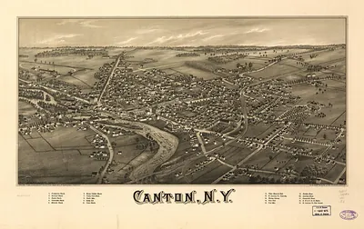
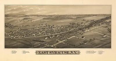
Canastota, New York, 1885 – Antique Map Print

(Originally scanned by the Library of Congress. Each image is professionally and digitally cleaned of artifacts such as color bars and extra borders prior to printing.)
Description
This antique map of Canastota, New York, 1885 brings a moment of history to your wall. It comes from the collections of the Library of Congress, scanned from the original and carefully restored.
Library of Congress record: Canastota, N.Y. 1885
The framed print arrives ready to hang; the unframed option suits custom framing. It makes a striking addition to a living room, study or office, and a thoughtful gift. Free shipping in the lower 48 states. Since 2001, Snapshots of the Past has shipped historic prints to tens of thousands of customers around the world.
Canastota, New York, 1885
Order a print
Thank you. Your order went through, and a receipt is on its way by email.
Secure checkout · SSL encryptedPowered by Stripe and PayPal
Free shipping in the lower 48 states. The checkout page shows the picture, size and price before you pay.
Canastota, a village in Madison County, New York, sat along the Erie Canal and the rail line between Syracuse and Utica in 1885, so its fortunes depended on moving grain, dairy goods, and manufactured wares east and west. The surrounding farms of the Oneida Valley supplied milk and produce to a region where cheese and butter making was becoming a major rural business, and local merchants and tradesmen served those farm families on Main Street. Village life in the 1880s centered on churches, lodges, schools, and the canal and depot, where people met freight and passengers each day. Residents of the time would have thought of Canastota first as a canal and railroad stop in the middle of a prosperous agricultural county, a place defined more by its daily commerce than by any single landmark.
| Created / published | 1885 |
|---|---|
| Creator | c.h. vogt & son, burleigh, l. r. |
| Notes | Bird's-eye view map. |
| Subjects | Panoramic maps--New York |
| Source | Library of Congress, Panoramic Maps |
| Original scan | 7,992 × 4,832 px · prints to 27 × 16 in at 300 dpi |
| Library of Congress title | Canastota, N.Y. 1885 |
| Reference | NY Canastota 1885 |
More from the Panoramic Maps collection
Snapshots of the Past helps heritage brands, museums, historians and storytellers tell stories with history: historic prints, image licensing and historical storytelling drawn from more than 25 years of research and curation.