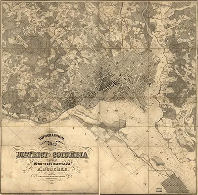
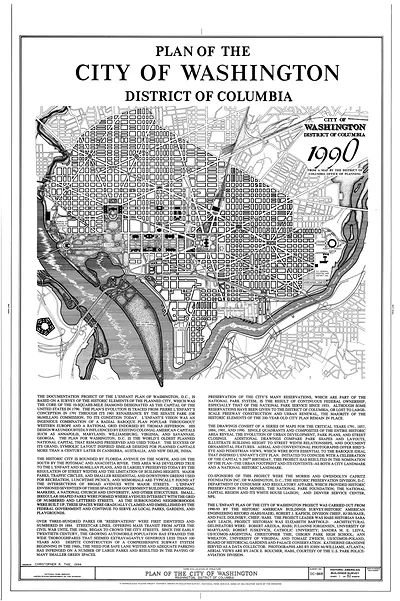
Topographical plan of the grounds of the Government Hospital for the Insane – Vintage Print

(Each image is professionally and digitally cleaned of artifacts such as color bars and extra borders prior to printing.)
Description
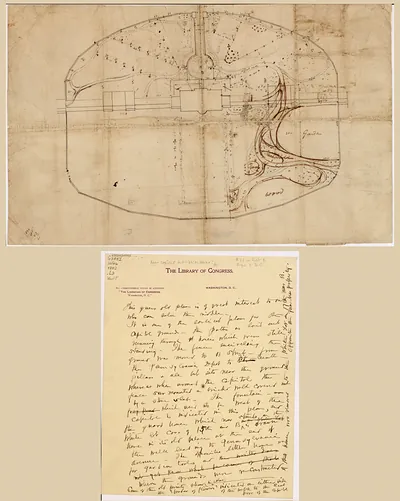
A window into the past: Topographical plan of the grounds of the Government Hospital for the Insane, preserved in this historic image. It comes from the Snapshots of the Past collection, curated over 25 years for its historical value.
Order it framed and ready to hang, or unframed to match a frame you already love. Perfect for a home, office, library or classroom wall, and a gift with a story behind it. Free shipping in the lower 48 states. Snapshots of the Past, founded in 2001, has served tens of thousands of customers worldwide.
Topographical plan of the grounds of the Government Hospital for the Insane
Order a print
Thank you. Your order went through, and a receipt is on its way by email.
Secure checkout · SSL encryptedPowered by Stripe and PayPal
Free shipping in the lower 48 states. The checkout page shows the picture, size and price before you pay.
The Government Hospital for the Insane, later renamed St. Elizabeths Hospital, sat on a hilltop above the Anacostia River in southeast Washington, and this plan lays out its grounds as they were laid down in the 1850s and 1860s. Plans like this one show the buildings, roads, walks and open fields that made up a large institution set on a working landscape. Because the hospital was designed around the idea that fresh air, quiet and farm labor would help patients recover, the grounds were as much a part of its treatment program as the wards themselves. The map is worth reading closely for how the site was organized to separate buildings, gardens and agricultural land.
| Original scan | 10,049 × 4,611 px · prints to 33 × 15 in at 300 dpi |
|---|---|
| Reference | ct002086 |
More from the Washington DC collection
Snapshots of the Past helps heritage brands, museums, historians and storytellers tell stories with history: historic prints, image licensing and historical storytelling drawn from more than 25 years of research and curation.