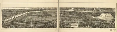
New York City Proposed site for Worlds Fair in, New York, 1883 – Antique Wall Map

(Originally scanned by the Library of Congress. Each image is professionally and digitally cleaned of artifacts such as color bars and extra borders prior to printing.)
Description
A window into the past: New York City Proposed site for Worlds Fair in, New York, 1883, preserved in this antique map. It comes from the collections of the Library of Congress, scanned from the original and carefully restored.
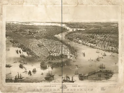
Library of Congress record: Proposed site for World's Fair in 1883 : between 110th and 125th Streets, Morning Side and River Side Parks, N.Y. Area 300 acres
Framed, it is ready for the wall; unframed, it is ready for the frame you choose. A fine choice for anyone who loves history, and a gift that gets noticed. Free shipping in the lower 48 states. Snapshots of the Past, founded in 2001, has served tens of thousands of customers worldwide.
New York City Proposed site for Worlds Fair in, New York, 1883
Order a print
Thank you. Your order went through, and a receipt is on its way by email.
Secure checkout · SSL encryptedPowered by Stripe and PayPal
Free shipping in the lower 48 states. The checkout page shows the picture, size and price before you pay.
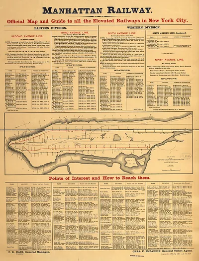
In 1883, New York was the largest city in the country and a center of shipping, garment and cigar manufacturing, and finance, with its population crowded into Manhattan's tenements and drawing waves of immigrants. The Brooklyn Bridge opened that May, linking Manhattan with Brooklyn and giving the two cities a new sense of connection across the East River. Elevated railways ran along the avenues above the streets, carrying commuters and freight through a city that was growing faster than its services could keep up with. Talk of hosting a world's fair reflected the civic ambition of the period, as local boosters wanted to show that New York could rival the great exhibitions held in Philadelphia and Paris. The proposed grounds shown here stood for a city that saw itself as the nation's commercial and cultural capital.
| Created / published | 1883 |
|---|---|
| Creator | stranders, walter |
| Notes | Bird's-eye view map. |
| Subjects | Panoramic maps--New York |
| Source | Library of Congress, Panoramic Maps |
| Original scan | 6,944 × 4,816 px · prints to 23 × 16 in at 300 dpi |
| Library of Congress title | Proposed site for World's Fair in 1883 : between 110th and 125th Streets, Morning Side and River Side Parks, N.Y. Area 300 acres |
| Reference | NY New York City Proposed site for Worlds Fair in 1883 |
More from the Panoramic Maps collection
Snapshots of the Past helps heritage brands, museums, historians and storytellers tell stories with history: historic prints, image licensing and historical storytelling drawn from more than 25 years of research and curation.