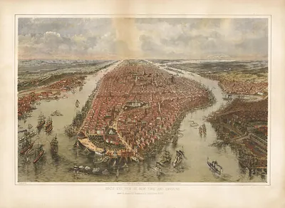
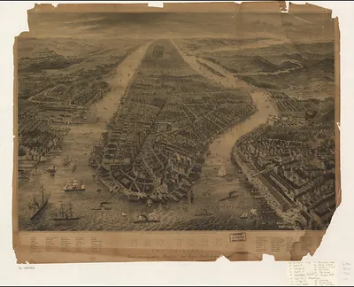
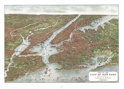
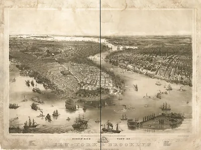
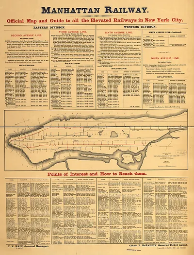
New York City, New York, 1905 – Antique Map Print

(Originally scanned by the Library of Congress. Each image is professionally and digitally cleaned of artifacts such as color bars and extra borders prior to printing.)
Description
Step back in time with New York City, New York, 1905, an antique map rich in period detail. Sourced directly from the Library of Congress, it represents an authentic piece of documented history.
Library of Congress record: The city of greater New York
Choose the framed print, ready to hang the day it arrives, or the unframed print for a frame of your own. It makes a striking addition to a living room, study or office, and a thoughtful gift. Free shipping in the lower 48 states. Snapshots of the Past has been bringing history to the wall since 2001, for tens of thousands of customers worldwide.
New York City, New York, 1905
Order a print
Thank you. Your order went through, and a receipt is on its way by email.
Secure checkout · SSL encryptedPowered by Stripe and PayPal
Free shipping in the lower 48 states. The checkout page shows the picture, size and price before you pay.
New York City in 1905 was only seven years into its life as a consolidated city, after the 1898 merger brought Brooklyn, Queens, the Bronx and Staten Island under one government. The population of the five boroughs had passed 3 million at the 1900 census and kept climbing, with immigrants arriving at Ellis Island and settling in Manhattan, Brooklyn and the Bronx. That October the first subway line opened, running north from City Hall to 145th Street for a nickel fare. The dense blocks of offices, piers and rail yards shown here reflect a port and financial district that were reshaping the skyline, including the Flatiron Building, finished in 1902 at Broadway and Fifth Avenue.
| Created / published | 1905 |
|---|---|
| Notes | Bird's-eye view map. |
| Subjects | Panoramic maps--New York |
| Source | Library of Congress, Panoramic Maps |
| Original scan | 11,429 × 7,872 px · prints to 38 × 26 in at 300 dpi |
| Library of Congress title | The city of greater New York |
| Reference | NY New York City 1905 |
More from the Panoramic Maps collection
Snapshots of the Past helps heritage brands, museums, historians and storytellers tell stories with history: historic prints, image licensing and historical storytelling drawn from more than 25 years of research and curation.