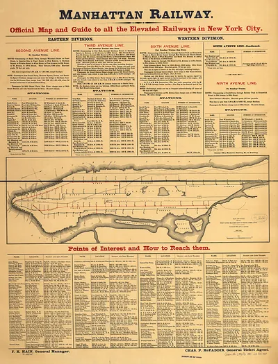
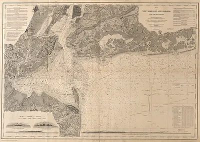
New York City, New York, 1865 – Vintage Map Wall Art

(Each image is professionally and digitally cleaned of artifacts such as color bars and extra borders prior to printing.)
Description
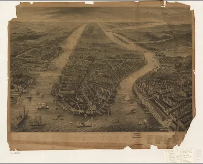
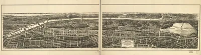
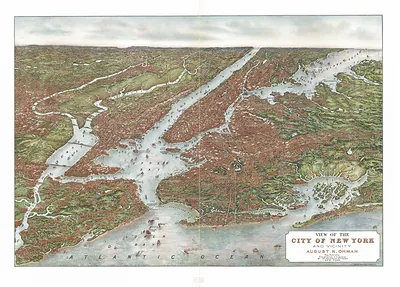
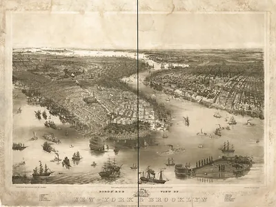
This rare antique map captures New York City, New York, 1865 in remarkable detail. Drawn from the Snapshots of the Past archive, it is an authentic piece of documented history.
Order it framed and ready to hang, or unframed to match a frame you already love. Perfect for a home, office, library or classroom wall, and a gift with a story behind it. Free shipping in the lower 48 states. Snapshots of the Past, founded in 2001, has served tens of thousands of customers worldwide.
New York City, New York, 1865
Order a print
Thank you. Your order went through, and a receipt is on its way by email.
Secure checkout · SSL encryptedPowered by Stripe and PayPal
Free shipping in the lower 48 states. The checkout page shows the picture, size and price before you pay.
New York City in 1865 was a city of roughly 800,000 people, crowded onto Manhattan's southern end and pushing steadily north along the grid of streets laid out a few decades earlier. The Civil War had ended only months before, and the port remained the busiest in the country, handling cotton, grain, and immigrants arriving by the thousands each month. Horse-drawn omnibuses and streetcars moved people along Broadway and the avenues, while the Hudson and East River piers were lined with steamships and sailing vessels. Politically, the city was still shaken by the Draft Riots of 1863 and the wartime tensions that followed, and Tammany Hall held considerable sway over city affairs. Central Park, designed by Frederick Law Olmsted and Calvert Vaux, was taking shape in the middle of the island and was already a point of civic pride.
| Created / published | 1865 |
|---|---|
| Notes | Bird's-eye view map. |
| Subjects | Panoramic maps--New York |
| Original scan | 6,080 × 4,432 px · prints to 20 × 15 in at 300 dpi |
| Reference | NY New York City 1865 |
More from the Panoramic Maps collection
Snapshots of the Past helps heritage brands, museums, historians and storytellers tell stories with history: historic prints, image licensing and historical storytelling drawn from more than 25 years of research and curation.