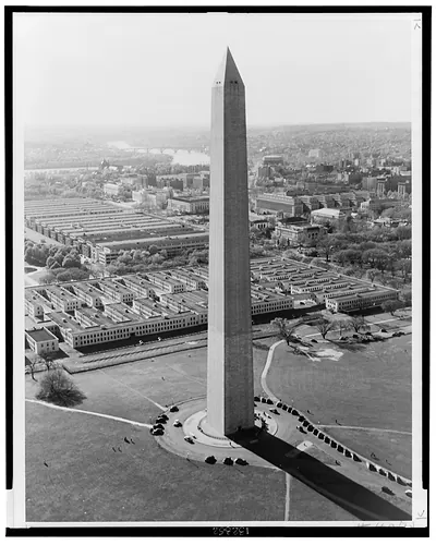
Aerial views of Washington, D.C.: Washington Monument; Fed Triangle in backgrd. – Historic Print

(Originally scanned by the Library of Congress. Each image is professionally and digitally cleaned of artifacts such as color bars and extra borders prior to printing.)
Description
This rare historic photograph captures Aerial views of Washington, D.C.: Washington Monument; Fed Triangle in backgrd. in remarkable detail. An authentic image from the Library of Congress, it carries the weight of the real historical record.
Order it framed and ready to hang, or unframed to match a frame you already love. A conversation-starting piece for home, office, or as a meaningful gift. Free shipping in the lower 48 states. Since 2001, Snapshots of the Past has shipped historic prints to tens of thousands of customers around the world.
Aerial views of Washington, D.C.: Washington Monument; Fed Triangle in backgrd.
Order a print
Thank you. Your order went through, and a receipt is on its way by email.
Secure checkout · SSL encryptedPowered by Stripe and PayPal
Free shipping in the lower 48 states. The checkout page shows the picture, size and price before you pay.
Looking down on the Washington Monument with the Federal Triangle spread out behind it, this aerial view captures two very different chapters of the capital's building history. The obelisk, completed in 1884, stands on the National Mall, while the Federal Triangle was a large project of federal office buildings erected in the 1930s on land cleared of older blocks between the Mall and Pennsylvania Avenue. The photograph was made by Fairchild Aerial Survey of New York, a firm known for mapping and surveying from the air in that era. The record dates it only to between 1930 and 1940, so the exact day is uncertain, but the scene shows the city during its large-scale federal expansion.
| Medium | 1 photographic print. |
|---|---|
| Notes | [between 1930 and 1940] |
| Subjects | Photo by Fairchild Aerial Survey, Inc., N.Y.C. This record contains unverified, old data from caption card, with subsequent revisions. Caption card tracings: DC, Wash.,--Federal Triangle; DC, Wash.--Galleries...; DC, Wash.--Monuments; DC, Wash.--Views--Aerial; Shelf. |
| Source | Library of Congress, Prints and Photographs Division |
| Original scan | 1,536 × 1,215 px · prints to 5 × 4 in at 300 dpi |
| Reference | AMZ-SOTP-HPA-134793 |
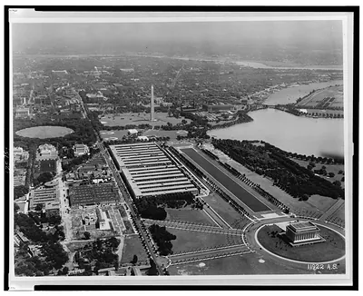
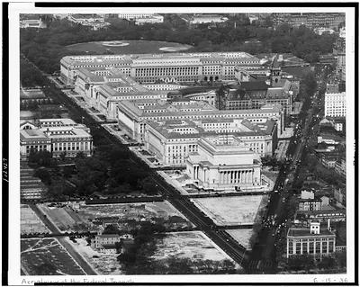
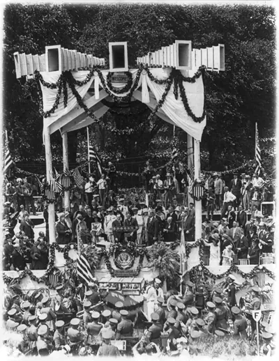
More from the Washington DC collection
Snapshots of the Past helps heritage brands, museums, historians and storytellers tell stories with history: historic prints, image licensing and historical storytelling drawn from more than 25 years of research and curation.