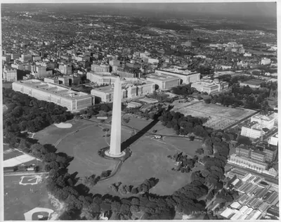
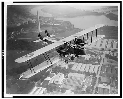
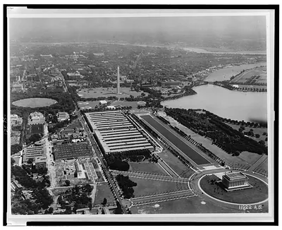
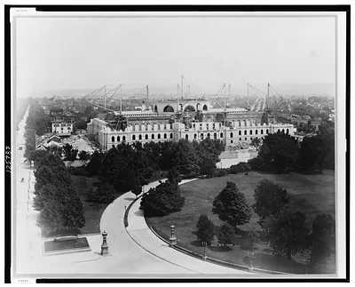
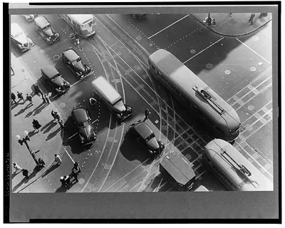
Aerial view of the Federal Triangle, Washington, D.C. – Vintage Photo Print

(Originally scanned by the Library of Congress. Each image is professionally and digitally cleaned of artifacts such as color bars and extra borders prior to printing.)
Description
Step back in time with Aerial view of the Federal Triangle, Washington, D.C., a historic photograph rich in period detail. It comes from the collections of the Library of Congress, scanned from the original and carefully restored.
Choose the framed print, ready to hang the day it arrives, or the unframed print for a frame of your own. Perfect for a home, office, library or classroom wall, and a gift with a story behind it. Free shipping in the lower 48 states. Snapshots of the Past, founded in 2001, has served tens of thousands of customers worldwide.
Aerial view of the Federal Triangle, Washington, D.C.
Order a print
Thank you. Your order went through, and a receipt is on its way by email.
Secure checkout · SSL encryptedPowered by Stripe and PayPal
Free shipping in the lower 48 states. The checkout page shows the picture, size and price before you pay.
The Federal Triangle, the cluster of government buildings laid out between Pennsylvania Avenue, Constitution Avenue and the Ellipse, is the subject here, seen from above in mid-1936 when the project was still taking shape. The triangle was the product of the Federal Triangle redevelopment plan of the early 1930s, which replaced a dense tangle of older blocks with a set of large classical-revival office buildings meant to house federal agencies. From the air the arrangement of the new structures and the open streets around them is easy to read, and the photograph captures a moment when the city's monumental core was being reshaped for the government's growing workforce.
| Created / published | 1936 June 15. |
|---|---|
| Medium | 1 photographic print. |
| Genre | Aerial photographs 1930-1940.Photographic prints 1930-1940. |
| Notes | No. NA-72. |
| Subjects | Government buildings--Washington (D.C.)--1930-1940. Federal Triangle (Washington, D.C.)--1930-1940. |
| Source | Library of Congress, Prints and Photographs Division |
| Original scan | 4,096 × 3,268 px · prints to 14 × 11 in at 300 dpi |
| Reference | AMZ-SOTP-HPA-179278 |
More from the Washington DC collection
Snapshots of the Past helps heritage brands, museums, historians and storytellers tell stories with history: historic prints, image licensing and historical storytelling drawn from more than 25 years of research and curation.