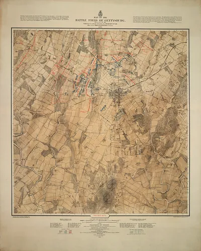
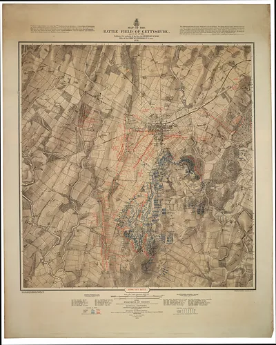
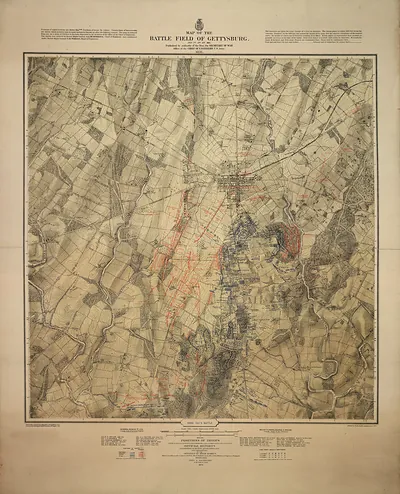
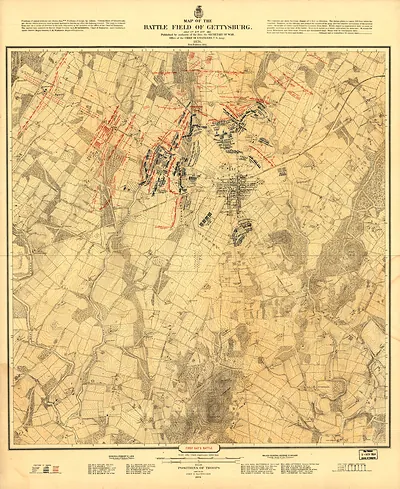
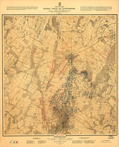
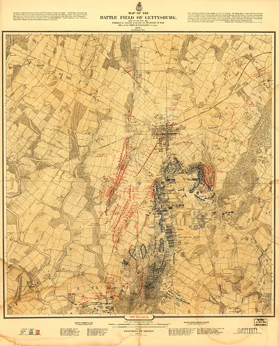
Map of the Battle Field of Gettysburg, Engineer Department USA – Vintage Map Wall Art

(Each image is professionally and digitally cleaned of artifacts such as color bars and extra borders prior to printing.)
Description
This antique map of Map of the Battle Field of Gettysburg, Engineer Department USA brings a moment of history to your wall. Drawn from the Snapshots of the Past archive, it is an authentic piece of documented history.
Framed, it is ready for the wall; unframed, it is ready for the frame you choose. It makes a striking addition to a living room, study or office, and a thoughtful gift. Free shipping in the lower 48 states. Snapshots of the Past, founded in 2001, has served tens of thousands of customers worldwide.
Map of the Battle Field of Gettysburg, Engineer Department USA
Order a print
Thank you. Your order went through, and a receipt is on its way by email.
Secure checkout · SSL encryptedPowered by Stripe and PayPal
Free shipping in the lower 48 states. The checkout page shows the picture, size and price before you pay.
The map's title names the Engineer Department of the United States Army, which tells us it was produced by military mapmakers rather than commercial cartographers. Battlefield maps like this one were drawn to show terrain, roads, ridges, and troop positions, and they were used both for studying the fighting in the weeks and years after the battle and for planning memorial and preservation work at Gettysburg. The fighting there in July 1863 turned on features such as Cemetery Ridge, Little Round Top, and the wheatfield, and a map of this kind lets a viewer trace how the Union and Confederate lines related to that ground. Worth noticing is the level of topographic detail, which shows how carefully the terrain was surveyed.
| Original scan | 2,777 × 2,163 px · prints to 9 × 7 in at 300 dpi |
|---|---|
| Reference | Back - NARA Gettysburg Map |
More from the Gettysburg collection
Snapshots of the Past helps heritage brands, museums, historians and storytellers tell stories with history: historic prints, image licensing and historical storytelling drawn from more than 25 years of research and curation.