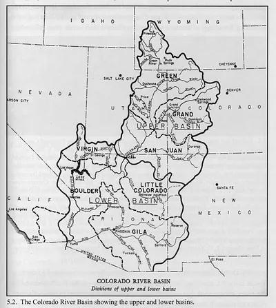
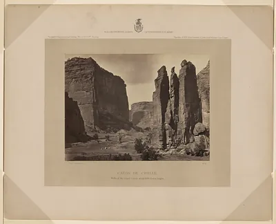
np000054 Diagram showing the history of the exploration and navigation and survey of the Grand and other canons – Antique Wall Art

(Each image is professionally and digitally cleaned of artifacts such as color bars and extra borders prior to printing.)
Description
Np000054 Diagram showing the history of the exploration and navigation and survey of the Grand and other canons comes to life in this historic image, reproduced from the original with every detail intact. It is part of the Snapshots of the Past archive, gathered over 25 years of research.
The framed print arrives ready to hang; the unframed option suits custom framing. A conversation-starting piece for home, office, or as a meaningful gift. Free shipping in the lower 48 states. Snapshots of the Past has been bringing history to the wall since 2001, for tens of thousands of customers worldwide.
np000054 Diagram showing the history of the exploration and navigation and survey of the Grand and other canons
Order a print
Thank you. Your order went through, and a receipt is on its way by email.
Secure checkout · SSL encryptedPowered by Stripe and PayPal
Free shipping in the lower 48 states. The checkout page shows the picture, size and price before you pay.
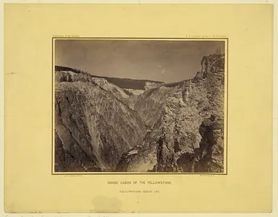
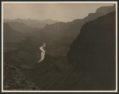
The record describes a diagram rather than a photograph, tracing the exploration, navigation and survey of the Grand Canyon and other canyons, dated 1908. Its value lies in showing how the canyon's mapping unfolded over time, from early river expeditions to later government surveys. By 1908 the Colorado River's deep gorges had already been run by boat, most famously by John Wesley Powell's 1869 expedition, and the United States Geological Survey was steadily producing maps of the region. A chart like this one reflects that growing effort to turn a remote, dangerous landscape into a measured, documented place.
| Created / published | 1908 |
|---|---|
| Original scan | 6,733 × 8,812 px · prints to 22 × 29 in at 300 dpi |
| Reference | np000054 Diagram showing the history of the exploration and navigation and survey of the Grand and other canons 1908 |
More from the Grand Canyon collection
Snapshots of the Past helps heritage brands, museums, historians and storytellers tell stories with history: historic prints, image licensing and historical storytelling drawn from more than 25 years of research and curation.