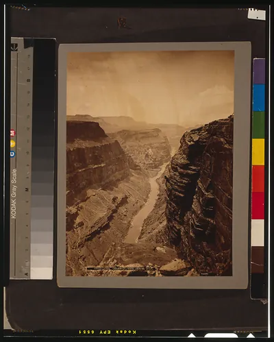
Colorado River Basin map showing upper and lower basins – Historic Map Reproduction

(Each image is professionally and digitally cleaned of artifacts such as color bars and extra borders prior to printing.)
Description
This antique map of Colorado River Basin map showing upper and lower basins brings a moment of history to your wall. It is part of the Snapshots of the Past archive, gathered over 25 years of research.
The framed print arrives ready to hang; the unframed option suits custom framing. A conversation-starting piece for home, office, or as a meaningful gift. Free shipping in the lower 48 states. Snapshots of the Past, founded in 2001, has served tens of thousands of customers worldwide.
Colorado River Basin map showing upper and lower basins
Order a print
Thank you. Your order went through, and a receipt is on its way by email.
Secure checkout · SSL encryptedPowered by Stripe and PayPal
Free shipping in the lower 48 states. The checkout page shows the picture, size and price before you pay.
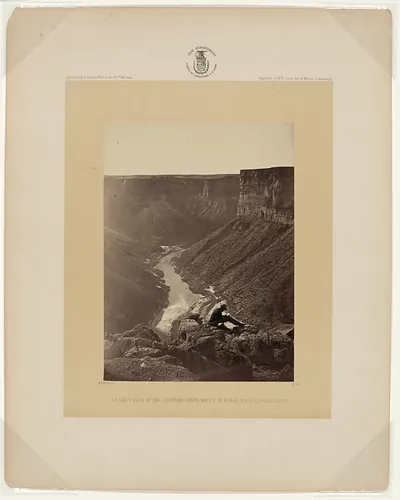
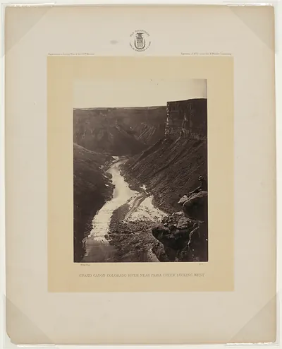
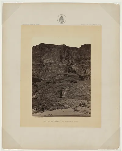
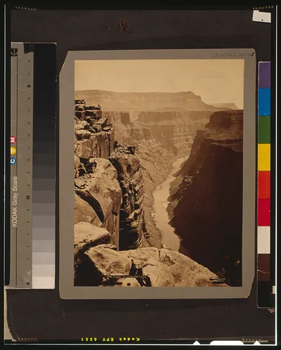
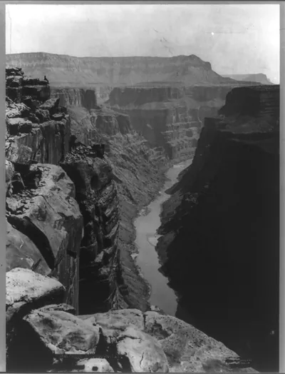
The Colorado River Basin map sets the Grand Canyon in a much larger watershed, showing how the river's water is divided between the upper basin states and the lower basin states. The Colorado drains a huge area across seven U.S. states and parts of Mexico, and the canyon sits where the river cuts through the Colorado Plateau on its way south. Maps like this one were central to the 1922 Colorado River Compact, which set the framework for allocating the river's flow. Worth noticing is how the boundary between the two basins runs near Lee's Ferry, just upstream of the canyon's northern end, linking a natural wonder to decades of water policy.
| Original scan | 4,038 × 4,511 px · prints to 13 × 15 in at 300 dpi |
|---|---|
| Reference | 17709u |
More from the Grand Canyon collection
Snapshots of the Past helps heritage brands, museums, historians and storytellers tell stories with history: historic prints, image licensing and historical storytelling drawn from more than 25 years of research and curation.