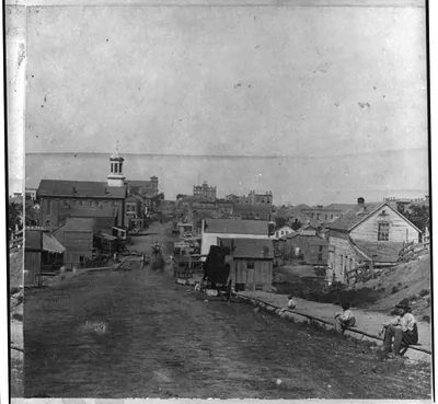
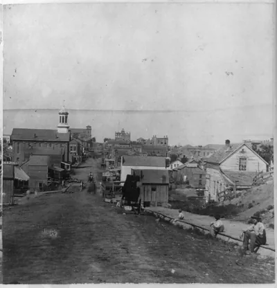
House & well where Jim Lane shot Capt. Jenkins, Lawrence, Kansas, 323 miles west of St. Louis, Mo. – Antique Wall Art

(Originally scanned by the Library of Congress. Each image is professionally and digitally cleaned of artifacts such as color bars and extra borders prior to printing.)
Description
Step back in time with House & well where Jim Lane shot Capt. Jenkins, Lawrence, Kansas, 323 miles west of St. Louis, Mo., a historic photograph rich in period detail. An authentic image from the Library of Congress, it carries the weight of the real historical record.
Framed, it is ready for the wall; unframed, it is ready for the frame you choose. It makes a striking addition to a living room, study or office, and a thoughtful gift. Free shipping in the lower 48 states. Since 2001, Snapshots of the Past has shipped historic prints to tens of thousands of customers around the world.
House & well where Jim Lane shot Capt. Jenkins, Lawrence, Kansas, 323 miles west of St. Louis, Mo.
Order a print
Thank you. Your order went through, and a receipt is on its way by email.
Secure checkout · SSL encryptedPowered by Stripe and PayPal
Free shipping in the lower 48 states. The checkout page shows the picture, size and price before you pay.
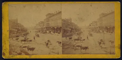
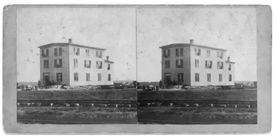
The stereo card shows a house and well in Lawrence, Kansas, the spot the title ties to a shooting: Jim Lane, the free-state leader, fatally wounded Capt. Jenkins there. Lawrence was a center of the fight over slavery in Kansas during the 1850s, and its antislavery residents were often at odds with neighbors who supported slavery, so the scene carries that tense history. The card is number 41 in a series issued by Gardner's Photographic Art Gallery in Washington in 1867, part of a set documenting the Union Pacific Railway's Eastern Division. Its caption measures the town as 323 miles west of St. Louis, a reminder of how far the rail routes had pushed into the plains by then.
| Created / published | Washington : Gardner's Photographic Art Gallery, 1867. |
|---|---|
| Medium | 1 photographic print on stereo card : stereograph, albumen. |
| Genre | Stereographs 1860-1870.Albumen prints 1860-1870. |
| Notes | No. 41. Title from item. Part of series: Across the continent on the Union Pacific Railway, Eastern Division. |
| Source | Library of Congress, Prints and Photographs Division |
| Original scan | 1,450 × 1,536 px · prints to 5 × 5 in at 300 dpi |
| Reference | AMZ-SOTP-HPA-123259 |
More from the St. Louis collection
Snapshots of the Past helps heritage brands, museums, historians and storytellers tell stories with history: historic prints, image licensing and historical storytelling drawn from more than 25 years of research and curation.