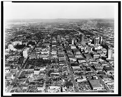
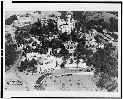
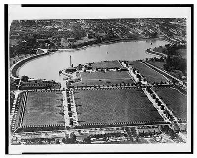
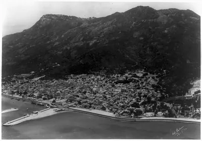
[Aerial view of La Ceiba, Honduras] – Historic Photograph Print

(Originally scanned by the Library of Congress. Each image is professionally and digitally cleaned of artifacts such as color bars and extra borders prior to printing.)
Description
A window into the past: [Aerial view of La Ceiba, Honduras], preserved in this historic photograph. It comes from the collections of the Library of Congress, scanned from the original and carefully restored.
Order it framed and ready to hang, or unframed to match a frame you already love. A conversation-starting piece for home, office, or as a meaningful gift. Free shipping in the lower 48 states. Since 2001, Snapshots of the Past has shipped historic prints to tens of thousands of customers around the world.
[Aerial view of La Ceiba, Honduras]
Order a print
Thank you. Your order went through, and a receipt is on its way by email.
Secure checkout · SSL encryptedPowered by Stripe and PayPal
Free shipping in the lower 48 states. The checkout page shows the picture, size and price before you pay.
Aerial views of Central American port towns from the early 1940s are uncommon, and this one shows La Ceiba on the north coast of Honduras, a town in the Atlántida department that grew around banana cultivation and its shipping. The record dates the print to roughly 1940 to 1945, a period when the United States paid close attention to Honduran ports and plantation economies, and the bird's-eye angle lets viewers read how the town's street grid met the surrounding farmland and coastline. The Library of Congress holds it in the Prints and Photographs Division, where it serves as a document of the town's layout during those years.
| Created / published | [between 1940 and 1945?] |
|---|---|
| Medium | 1 photographic print. |
| Genre | Photographic prints 1940-1950.Aerial photographs 1940-1950. |
| Subjects | La Ceiba (Atlántida, Honduras)--1940-1950. |
| Source | Library of Congress, Prints and Photographs Division |
| Original scan | 4,096 × 3,278 px · prints to 14 × 11 in at 300 dpi |
| Reference | AMZ-SOTP-HPA-181934 |
More from the Historic Print Archive collection
Snapshots of the Past helps heritage brands, museums, historians and storytellers tell stories with history: historic prints, image licensing and historical storytelling drawn from more than 25 years of research and curation.