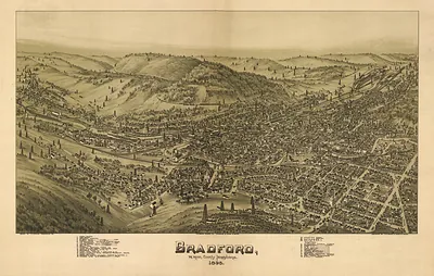
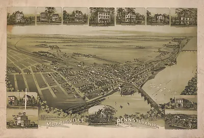
Downingtown, Chester County, Pennsylvania, 1893 – Vintage Map Wall Art

(Originally scanned by the Library of Congress. Each image is professionally and digitally cleaned of artifacts such as color bars and extra borders prior to printing.)
Description
This rare antique map captures Downingtown, Chester County, Pennsylvania, 1893 in remarkable detail. The original is held by the Library of Congress, so what you hang is a true record of its time.
Library of Congress record: Downingtown, Chester County, Pennsylvania 1893
Choose the framed print, ready to hang the day it arrives, or the unframed print for a frame of your own. Perfect for a home, office, library or classroom wall, and a gift with a story behind it. Free shipping in the lower 48 states. Snapshots of the Past, founded in 2001, has served tens of thousands of customers worldwide.
Downingtown, Chester County, Pennsylvania, 1893
Order a print
Thank you. Your order went through, and a receipt is on its way by email.
Secure checkout · SSL encryptedPowered by Stripe and PayPal
Free shipping in the lower 48 states. The checkout page shows the picture, size and price before you pay.
Downingtown's 1893 panoramic map presents the borough of Chester County from a high, angled viewpoint, so streets, rail lines, and buildings appear as they would from above and at a distance. Thaddeus M. Fowler drew many such bird's-eye views of American towns in the late 1800s, and James B. Moyer worked with him on the publication. Maps like this were commissioned by residents and businesses who wanted a detailed portrait of their community. Look along the Brandywine Creek valley for how the town's mills, rail connections, and residential streets fit into the surrounding countryside.
| Created / published | 1893 |
|---|---|
| Creator | moyer, james b., fowler, t. m. (thaddeus mortimer) |
| Source | Library of Congress, Panoramic Maps |
| Original scan | 5,040 × 3,514 px · prints to 17 × 12 in at 300 dpi |
| Library of Congress title | Downingtown, Chester County, Pennsylvania 1893 |
| Reference | PA-Downingtown-1893 |
More from the PAN MAPS collection
Snapshots of the Past helps heritage brands, museums, historians and storytellers tell stories with history: historic prints, image licensing and historical storytelling drawn from more than 25 years of research and curation.