Grand Cañon, Colorado River, near Paria Creek, looking west / W. Bell, phot. – Antique Print

(Originally scanned by the Library of Congress. Each image is professionally and digitally cleaned of artifacts such as color bars and extra borders prior to printing.)
Description
This historic photograph of Grand Cañon, Colorado River, near Paria Creek, looking west / W. Bell, phot. brings a moment of history to your wall. An authentic image from the Library of Congress, it carries the weight of the real historical record.
Framed, it is ready for the wall; unframed, it is ready for the frame you choose. It brings character to any room and makes a memorable gift. Free shipping in the lower 48 states. Snapshots of the Past has been bringing history to the wall since 2001, for tens of thousands of customers worldwide.
Grand Cañon, Colorado River, near Paria Creek, looking west / W. Bell, phot.
Order a print
Thank you. Your order went through, and a receipt is on its way by email.
Secure checkout · SSL encryptedPowered by Stripe and PayPal
Free shipping in the lower 48 states. The checkout page shows the picture, size and price before you pay.
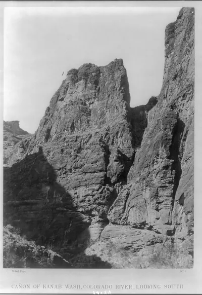
Plate 7 shows the Colorado River where it cuts through the Grand Canyon near the mouth of Paria Creek, looking west down the gorge. William Bell made it in 1872 while serving as photographer on George M. Wheeler's survey of lands west of the 100th meridian, one of several federal expeditions that mapped the Southwest in the early 1870s. Albumen prints like this one were made from glass negatives and bound into survey reports, so the image was meant as a scientific record of the canyon's walls and river as much as a view. The print's steep, layered cliffs show why surveyors found the region so difficult to traverse.
| Created / published | 1872 |
|---|---|
| Medium | 1 photographic print : albumen. |
| Genre | Expedition photographs 1870-1880.Landscape photographs 1870-1880.Albumen prints 1870-1880. |
| Notes | Plate no. 7. Title from item. Originally published: Photographs showing landscapes, geological, and other features of portions of the western territory of the United States, obtained in connection with geographical and geological explorations and surveys west of the 100th meridian, seasons of 1871, 1872, and 1873. [Washington, D.C.] : War Dept., Corps of Engineers, U.S. Army, [1875] Published in: Wheeler's photographic survey of the American West, 1871-1873 by George M. Wheeler ; with 50 landscape photographs by Timothy O'Sullivan and William Bell. New York : Dover Publications, Inc., 1983, Plate 23. |
| Subjects | Canyons--1870-1880. Rivers--1870-1880. |
| Source | Library of Congress, Prints and Photographs Division |
| Original scan | 1,057 × 1,536 px · prints to 4 × 5 in at 300 dpi |
| Reference | AMZ-SOTP-HPA-125260 |
More from the Historic Print Archive collection
Snapshots of the Past helps heritage brands, museums, historians and storytellers tell stories with history: historic prints, image licensing and historical storytelling drawn from more than 25 years of research and curation.