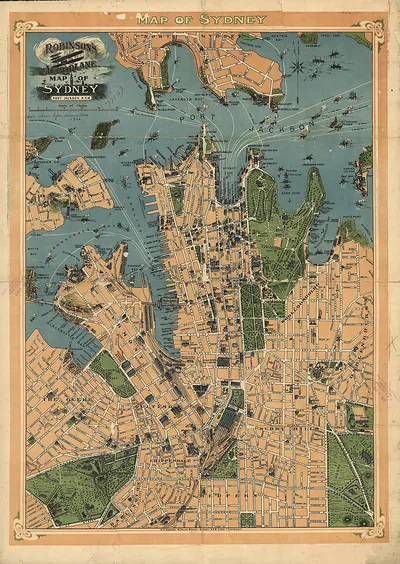
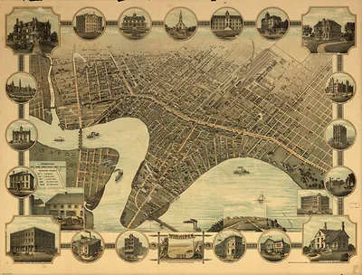
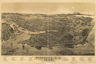
Sydney, 1922 – Antique Wall Map

(Each image is professionally and digitally cleaned of artifacts such as color bars and extra borders prior to printing.)
Description
Sydney, 1922 comes to life in this antique map, reproduced from the original with every detail intact. Drawn from the Snapshots of the Past archive, it is an authentic piece of documented history.
Order it framed and ready to hang, or unframed to match a frame you already love. It brings character to any room and makes a memorable gift. Free shipping in the lower 48 states. Since 2001, Snapshots of the Past has shipped historic prints to tens of thousands of customers around the world.
Sydney, 1922
Order a print
Thank you. Your order went through, and a receipt is on its way by email.
Secure checkout · SSL encryptedPowered by Stripe and PayPal
Free shipping in the lower 48 states. The checkout page shows the picture, size and price before you pay.
Sydney in 1922 was a working harbor as much as a city. Cockatoo Island, in the middle of the harbor, was a Commonwealth dockyard where ships were repaired and built, and Garden Island served as a base for the navy's vessels. At Circular Quay, at the foot of the city, passenger steamers and cargo boats handled traffic to coastal towns and overseas ports. Each autumn, families came into Moore Park for the Royal Easter Show, where prize livestock, farm produce, and show-ring competitions brought country visitors into town. The map shows these harbor works alongside the streets people walked daily between their jobs and their homes.
| Created / published | 1922 |
|---|---|
| Notes | Bird's-eye view map. |
| Subjects | Panoramic maps-- |
| Original scan | 6,951 × 9,800 px · prints to 23 × 33 in at 300 dpi |
| Reference | AU-Sydney-1922 |
More from the Panoramic Maps collection
Snapshots of the Past helps heritage brands, museums, historians and storytellers tell stories with history: historic prints, image licensing and historical storytelling drawn from more than 25 years of research and curation.