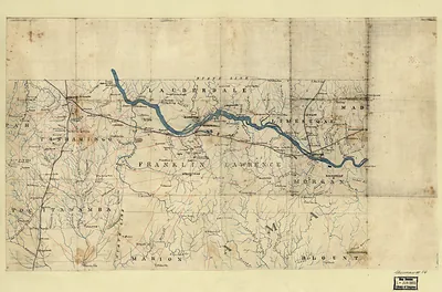
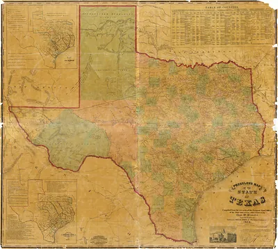
cws 00015 Map of northeastern Alabama and northwestern Georgia – Antique Map Print

(Each image is professionally and digitally cleaned of artifacts such as color bars and extra borders prior to printing.)
Description
This rare antique map captures cws 00015 Map of northeastern Alabama and northwestern Georgia in remarkable detail. It comes from the Snapshots of the Past collection, curated over 25 years for its historical value.
Choose the framed print, ready to hang the day it arrives, or the unframed print for a frame of your own. A fine choice for anyone who loves history, and a gift that gets noticed. Free shipping in the lower 48 states. Since 2001, Snapshots of the Past has shipped historic prints to tens of thousands of customers around the world.
cws 00015 Map of northeastern Alabama and northwestern Georgia
Order a print
Thank you. Your order went through, and a receipt is on its way by email.
Secure checkout · SSL encryptedPowered by Stripe and PayPal
Free shipping in the lower 48 states. The checkout page shows the picture, size and price before you pay.
Northeastern Alabama and northwestern Georgia form a hilly, river-cut borderland, and this bird's-eye view shows a region whose fortunes rose and fell with its rivers and rails. The Western and Atlantic Railroad, completed in 1850, linked Chattanooga and Atlanta through towns such as Dalton and Cartersville, giving local farmers and merchants a route to larger markets. Cotton, timber, and iron ore were the main resources, and the Coosa and Etowah rivers powered mills and carried freight. The land had been Cherokee country until the removals of 1838, and in 1863 and 1864 the Chickamauga and Atlanta campaigns moved through these same valleys and ridges, leaving the towns to rebuild after the war.
| Notes | Bird's-eye view map. |
|---|---|
| Subjects | Panoramic maps-- |
| Original scan | 5,111 × 4,422 px · prints to 17 × 15 in at 300 dpi |
| Reference | cws00015 Map of northeastern Alabama and northwestern Georgia |
More from the Panoramic Maps collection
Snapshots of the Past helps heritage brands, museums, historians and storytellers tell stories with history: historic prints, image licensing and historical storytelling drawn from more than 25 years of research and curation.