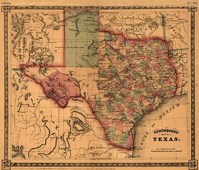
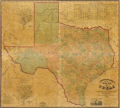
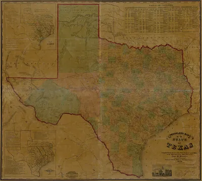
Schönbergs map of Texas 1866 bw, Texas – Vintage Map Wall Art

(Each image is professionally and digitally cleaned of artifacts such as color bars and extra borders prior to printing.)
Description
This rare antique map captures Schönbergs map of Texas 1866 bw, Texas in remarkable detail. It is part of the Snapshots of the Past archive, gathered over 25 years of research.
The framed print arrives ready to hang; the unframed option suits custom framing. Perfect for a home, office, library or classroom wall, and a gift with a story behind it. Free shipping in the lower 48 states. Snapshots of the Past, founded in 2001, has served tens of thousands of customers worldwide.
Schönbergs map of Texas 1866 bw, Texas
Order a print
Thank you. Your order went through, and a receipt is on its way by email.
Secure checkout · SSL encryptedPowered by Stripe and PayPal
Free shipping in the lower 48 states. The checkout page shows the picture, size and price before you pay.
Texas in 1866 was a state recovering from the Civil War, still under federal military authority as Reconstruction got underway. The announcement of emancipation had reached Galveston on June 19, 1865, and in the following year freedpeople across the state were negotiating wages, land, and labor contracts with planters who depended on cotton. Ports such as Galveston and Indianola shipped cotton out, while Houston and San Antonio served as trading centers for the interior. Austin, the capital, was a small government town, and the state's railroads were few and short, so distances were still measured by ox wagon and riverboat. A map of the state from this moment shows a region whose towns and roads were being rebuilt after four years of war.
| Notes | Bird's-eye view map. |
|---|---|
| Subjects | Panoramic maps--Texas |
| Original scan | 4,015 × 3,438 px · prints to 13 × 11 in at 300 dpi |
| Reference | Schönbergs map of Texas 1866 bw |
More from the Panoramic Maps collection
Snapshots of the Past helps heritage brands, museums, historians and storytellers tell stories with history: historic prints, image licensing and historical storytelling drawn from more than 25 years of research and curation.