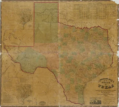
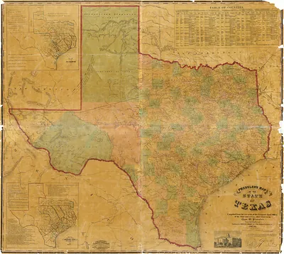
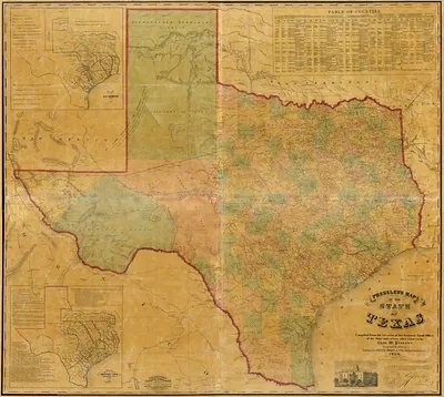
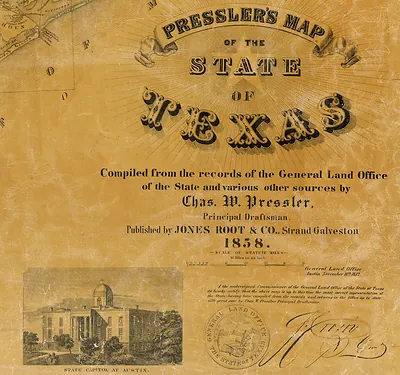
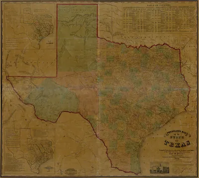
ORIGINAL - Presslers map of the state of Texas 1857, Texas – Vintage Map Wall Art

(Each image is professionally and digitally cleaned of artifacts such as color bars and extra borders prior to printing.)
Description
Step back in time with ORIGINAL - Presslers map of the state of Texas 1857, Texas, an antique map rich in period detail. It is part of the Snapshots of the Past archive, gathered over 25 years of research.
Order it framed and ready to hang, or unframed to match a frame you already love. It brings character to any room and makes a memorable gift. Free shipping in the lower 48 states. Since 2001, Snapshots of the Past has shipped historic prints to tens of thousands of customers around the world.
ORIGINAL - Presslers map of the state of Texas 1857, Texas
Order a print
Thank you. Your order went through, and a receipt is on its way by email.
Secure checkout · SSL encryptedPowered by Stripe and PayPal
Free shipping in the lower 48 states. The checkout page shows the picture, size and price before you pay.
Texas in 1857 was a state of about 600,000 people, though the 1860 census, taken shortly after, counted roughly 604,000, so the total was still climbing fast. Cotton drove its economy, and slave labor worked much of the cotton land in the eastern and central counties. Galveston was the state's leading port for shipping cotton out, and Houston was the rail and river hub for its inland trade, with the first Texas railroad having opened between Galveston and Houston only a few years earlier. German settlers had founded towns such as New Braunfels and Fredericksburg in the Hill Country, while federal forts on the western frontier guarded settlers against Comanche raids. Texans in 1857 would have known the state for its vast size, its cattle and cotton, and its unsettled debate over slavery and statehood.
| Notes | Bird's-eye view map. |
|---|---|
| Subjects | Panoramic maps--Texas |
| Original scan | 15,569 × 13,928 px · prints to 52 × 46 in at 300 dpi |
| Reference | ORIGINAL - Presslers map of the state of Texas 1857 |
More from the Panoramic Maps collection
Snapshots of the Past helps heritage brands, museums, historians and storytellers tell stories with history: historic prints, image licensing and historical storytelling drawn from more than 25 years of research and curation.