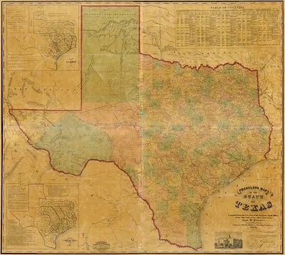
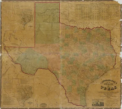
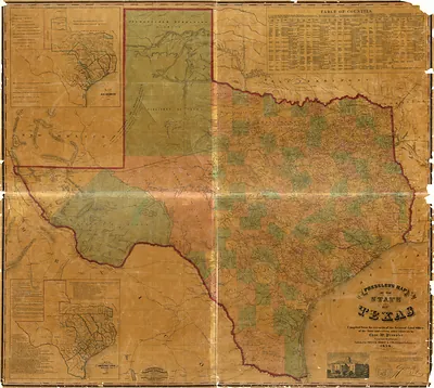
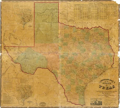
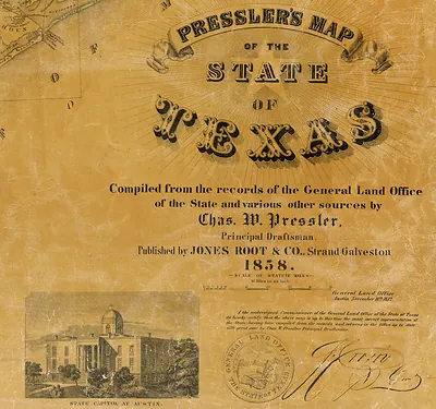
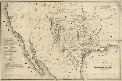
Fixed Dark - Presslers map of the state of Texas, Texas – Vintage Map Wall Art

(Each image is professionally and digitally cleaned of artifacts such as color bars and extra borders prior to printing.)
Description
Step back in time with Fixed Dark - Presslers map of the state of Texas, Texas, an antique map rich in period detail. It comes from the Snapshots of the Past collection, curated over 25 years for its historical value.
Order it framed and ready to hang, or unframed to match a frame you already love. It brings character to any room and makes a memorable gift. Free shipping in the lower 48 states. Since 2001, Snapshots of the Past has shipped historic prints to tens of thousands of customers around the world.
Fixed Dark - Presslers map of the state of Texas, Texas
Order a print
Thank you. Your order went through, and a receipt is on its way by email.
Secure checkout · SSL encryptedPowered by Stripe and PayPal
Free shipping in the lower 48 states. The checkout page shows the picture, size and price before you pay.
Texas in the late nineteenth century, when bird's-eye maps of the state were drawn, was a land of expanding railroads, cattle, and cotton. After the Civil War, track laid across the prairies linked Galveston and Houston to inland towns, and trail drives out of South Texas carried longhorn cattle north toward railheads in Kansas. Cotton was the state's leading crop, and the gins, warehouses, and depots that handled it helped shape towns from Dallas to Waco. Many Texans still saw their state as a large frontier in the making, where new county seats and the Texas Rangers marked the edge of settled life.
| Notes | Bird's-eye view map. |
|---|---|
| Subjects | Panoramic maps--Texas |
| Original scan | 7,785 × 6,964 px · prints to 26 × 23 in at 300 dpi |
| Reference | Fixed Dark - Presslers map of the state of Texas |
More from the Panoramic Maps collection
Snapshots of the Past helps heritage brands, museums, historians and storytellers tell stories with history: historic prints, image licensing and historical storytelling drawn from more than 25 years of research and curation.