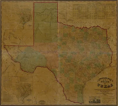
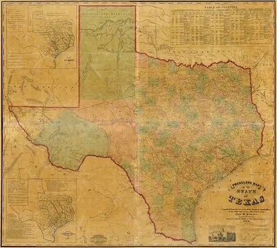
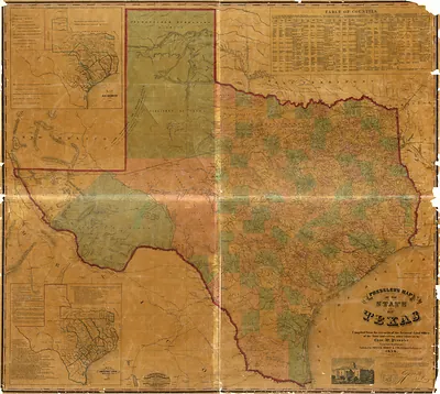
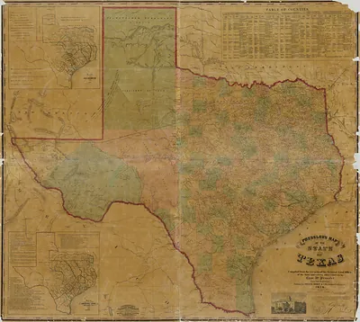
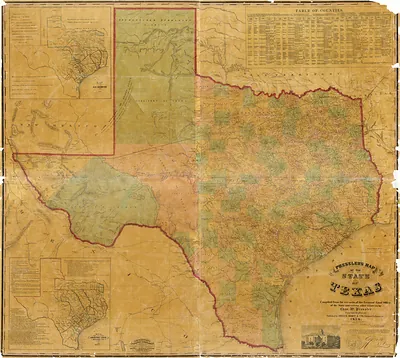
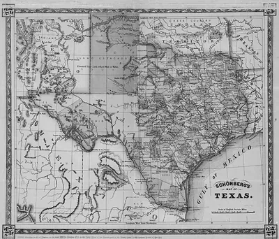
Map of Texas and the counties adjacent 1844, Texas – Antique Map Print

(Each image is professionally and digitally cleaned of artifacts such as color bars and extra borders prior to printing.)
Description
This rare antique map captures Map of Texas and the counties adjacent 1844, Texas in remarkable detail. Drawn from the Snapshots of the Past archive, it is an authentic piece of documented history.
The framed print arrives ready to hang; the unframed option suits custom framing. A conversation-starting piece for home, office, or as a meaningful gift. Free shipping in the lower 48 states. Since 2001, Snapshots of the Past has shipped historic prints to tens of thousands of customers around the world.
Map of Texas and the counties adjacent 1844, Texas
Order a print
Thank you. Your order went through, and a receipt is on its way by email.
Secure checkout · SSL encryptedPowered by Stripe and PayPal
Free shipping in the lower 48 states. The checkout page shows the picture, size and price before you pay.
Texas in 1844 was still the Republic of Texas, an independent nation since winning its break from Mexico in 1836, and Sam Houston was nearing the end of his second term as president. Annexation by the United States dominated public life that year, after a treaty to join the Union was rejected by the U.S. Senate in June. Most settlers lived in the east and along the rivers, where cotton planting worked by enslaved people and cattle ranching drove the economy, and Galveston handled much of the shipping out. Austin had been the capital since 1839, and the population was small and spread across a vast territory, so county lines like those on this map were a practical guide to a frontier still being settled.
| Notes | Bird's-eye view map. |
|---|---|
| Subjects | Panoramic maps--Texas |
| Original scan | 9,929 × 6,583 px · prints to 33 × 22 in at 300 dpi |
| Reference | Map of Texas and the counties adjacent 1844 |
More from the Panoramic Maps collection
Snapshots of the Past helps heritage brands, museums, historians and storytellers tell stories with history: historic prints, image licensing and historical storytelling drawn from more than 25 years of research and curation.