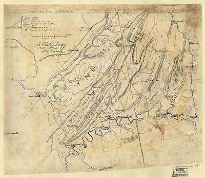
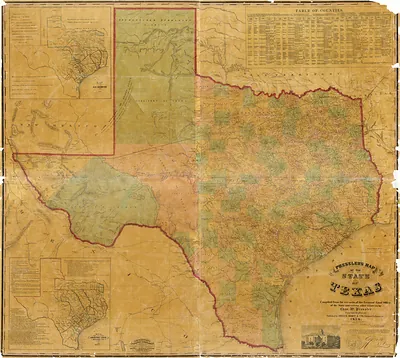
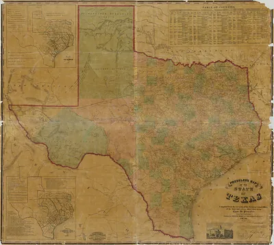
cws 00014 [Map of northwest Alabama and northeast Mississippi] – Historic Map Reproduction

(Each image is professionally and digitally cleaned of artifacts such as color bars and extra borders prior to printing.)
Description
This rare antique map captures cws 00014 [Map of northwest Alabama and northeast Mississippi] in remarkable detail. Drawn from the Snapshots of the Past archive, it is an authentic piece of documented history.
Order it framed and ready to hang, or unframed to match a frame you already love. A conversation-starting piece for home, office, or as a meaningful gift. Free shipping in the lower 48 states. Snapshots of the Past has been bringing history to the wall since 2001, for tens of thousands of customers worldwide.
cws 00014 [Map of northwest Alabama and northeast Mississippi]
Order a print
Thank you. Your order went through, and a receipt is on its way by email.
Secure checkout · SSL encryptedPowered by Stripe and PayPal
Free shipping in the lower 48 states. The checkout page shows the picture, size and price before you pay.
Northwest Alabama and northeast Mississippi sit along the Tennessee River and the rail lines that crossed it, and this bird's-eye view shows a region whose livelihood rested on cotton fields, river landings, and railroad junctions. Corinth, Mississippi, where the Mobile and Ohio and the Memphis and Charleston lines met, was fought over in 1862, and the Tennessee Valley towns of Florence and Tuscumbia rebuilt around cotton trade and steamboat traffic in the decades that followed. Residents of the period would have measured their towns by new depots, mills, and courthouse squares, while many still remembered wartime damage to bridges, fences, and farms. Cotton, timber, and iron moved out of the region by rail and river, so the farm families and merchants here depended heavily on those routes to reach distant buyers.
| Notes | Bird's-eye view map. |
|---|---|
| Subjects | Panoramic maps-- |
| Original scan | 6,917 × 4,559 px · prints to 23 × 15 in at 300 dpi |
| Reference | cws00014 [Map of northwest Alabama and northeast Mississippi] |
More from the Panoramic Maps collection
Snapshots of the Past helps heritage brands, museums, historians and storytellers tell stories with history: historic prints, image licensing and historical storytelling drawn from more than 25 years of research and curation.