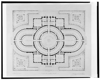
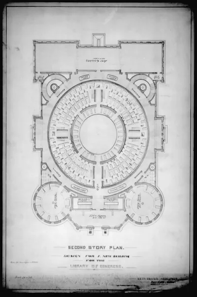
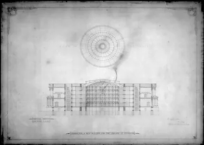
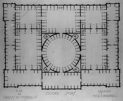
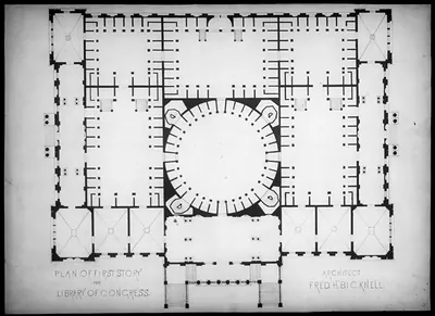
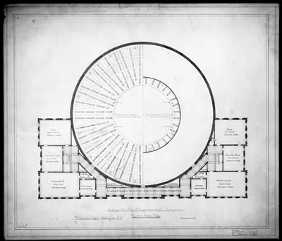
[Library of Congress, Washington, D.C. Plan showing roadway and sidewalk widths] – Vintage Print

(Originally scanned by the Library of Congress. Each image is professionally and digitally cleaned of artifacts such as color bars and extra borders prior to printing.)
Description
[Library of Congress, Washington, D.C. Plan showing roadway and sidewalk widths] comes to life in this historic drawing, reproduced from the original with every detail intact. An authentic image from the Library of Congress, it carries the weight of the real historical record.
Order it framed and ready to hang, or unframed to match a frame you already love. A conversation-starting piece for home, office, or as a meaningful gift. Free shipping in the lower 48 states. Snapshots of the Past, founded in 2001, has served tens of thousands of customers worldwide.
[Library of Congress, Washington, D.C. Plan showing roadway and sidewalk widths]
Order a print
Thank you. Your order went through, and a receipt is on its way by email.
Secure checkout · SSL encryptedPowered by Stripe and PayPal
Free shipping in the lower 48 states. The checkout page shows the picture, size and price before you pay.
This drawing sets out the cross-section of a single street: the relative widths of the sidewalks and roadway on B Street South, which is now Independence Avenue, running between the Capitol and the Library of Congress. Its ink, color ink, and graphite lines compare the street's parts side by side, the kind of study city engineers made when deciding how to divide a busy corridor between carriages, pedestrians, and public space. The Library's main building, the Jefferson Building, opened in 1897, so the drawing belongs to the years when this stretch of the Mall was taking on the monumental character it still has.
| Created / published | and Engineering (ADE) Drawings" (http://www.loc.gov/rr/print/res/103_ade.html)." |
|---|---|
| Medium | 1 drawing : ink, color ink, and graphite on paper. |
| Genre | Inscription: Plan showing relative widths of sidewalks and roadway on B" St. South (i.e. Independence Ave.) between the Capitol and congressional library. No. 48." |
| Source | Library of Congress, Prints and Photographs Division |
| Original scan | 3,762 × 4,770 px · prints to 13 × 16 in at 300 dpi |
| Reference | AMZ-SOTP-HPA-219574 |
More from the Library of Congress collection
Snapshots of the Past helps heritage brands, museums, historians and storytellers tell stories with history: historic prints, image licensing and historical storytelling drawn from more than 25 years of research and curation.