First L.H. District map of Maine and New Hampshire coast – Vintage Map Wall Art

(Each image is professionally and digitally cleaned of artifacts such as color bars and extra borders prior to printing.)
Description
This antique map of First L.H. District map of Maine and New Hampshire coast brings a moment of history to your wall. Drawn from the Snapshots of the Past archive, it is an authentic piece of documented history.
The framed print arrives ready to hang; the unframed option suits custom framing. A conversation-starting piece for home, office, or as a meaningful gift. Free shipping in the lower 48 states. Snapshots of the Past, founded in 2001, has served tens of thousands of customers worldwide.
First L.H. District map of Maine and New Hampshire coast
Order a print
Thank you. Your order went through, and a receipt is on its way by email.
Secure checkout · SSL encryptedPowered by Stripe and PayPal
Free shipping in the lower 48 states. The checkout page shows the picture, size and price before you pay.
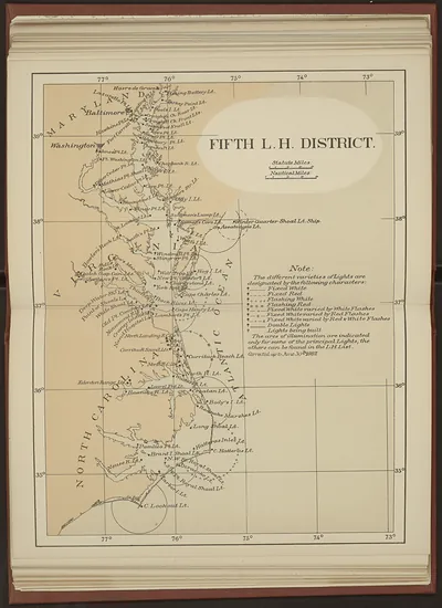
This sheet focuses on the Maine and New Hampshire shoreline within the First Lighthouse District, one of the numbered divisions the federal government used to manage its aids to navigation. After Congress created the Lighthouse Board in 1852, the coast was organized into these districts, and the First District was administered from Boston. Charts like this one were practical tools for keepers, inspectors and mariners, marking lights, buoys and dangerous ledges along a rocky coast known for fog and strong tides.
| Original scan | 10,528 × 8,888 px · prints to 35 × 30 in at 300 dpi |
|---|---|
| Reference | tif09369_FirstLHDistrict |
More from the Lighthouses collection
Snapshots of the Past helps heritage brands, museums, historians and storytellers tell stories with history: historic prints, image licensing and historical storytelling drawn from more than 25 years of research and curation.