Map of the City of Washington D.C. – Antique Map Print

(Each image is professionally and digitally cleaned of artifacts such as color bars and extra borders prior to printing.)
Description
Few images capture their era like this antique map of Map of the City of Washington D.C.. Drawn from the Snapshots of the Past archive, it is an authentic piece of documented history.
Choose the framed print, ready to hang the day it arrives, or the unframed print for a frame of your own. A conversation-starting piece for home, office, or as a meaningful gift. Free shipping in the lower 48 states. Snapshots of the Past, founded in 2001, has served tens of thousands of customers worldwide.
Map of the City of Washington D.C.
Order a print
Thank you. Your order went through, and a receipt is on its way by email.
Secure checkout · SSL encryptedPowered by Stripe and PayPal
Free shipping in the lower 48 states. The checkout page shows the picture, size and price before you pay.
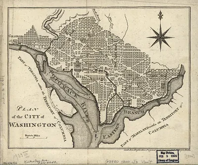
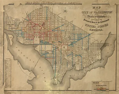
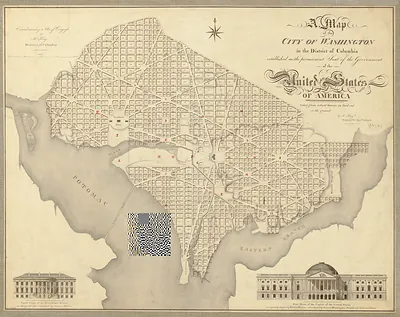
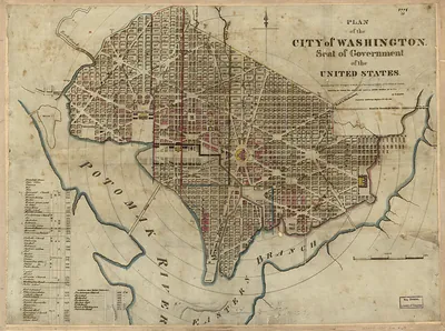
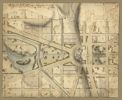
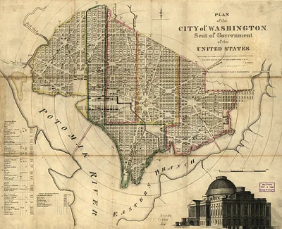
Few American cities were planned on paper before a single street was laid, and this map of the City of Washington shows that unusual origin. Pierre Charles L'Enfant, a French-born engineer who had served in the Continental Army, drew the original plan in 1791, pairing a rectangular street grid with broad diagonal avenues that radiate from the Capitol and the President's House. Andrew Ellicott, who surveyed the district, carried the design forward after L'Enfant was dismissed in 1792. Worth noticing are the open squares and circles, meant to give the capital room for monuments and parks.
| Original scan | 12,779 × 9,678 px · prints to 43 × 32 in at 300 dpi |
|---|---|
| Reference | ct000745 |
More from the Washington DC collection
Snapshots of the Past helps heritage brands, museums, historians and storytellers tell stories with history: historic prints, image licensing and historical storytelling drawn from more than 25 years of research and curation.