Queens, New York, 1915 – Antique Map Print

(Each image is professionally and digitally cleaned of artifacts such as color bars and extra borders prior to printing.)
Description
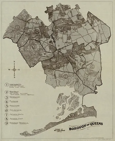
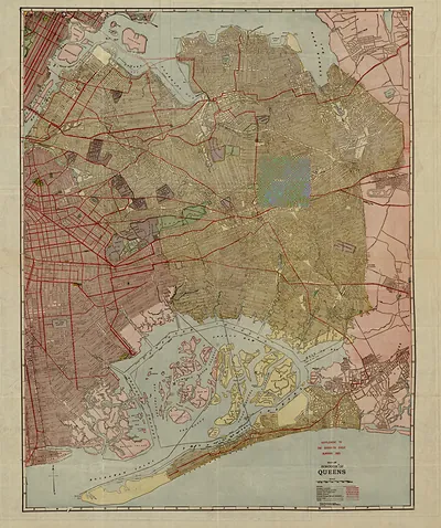
Step back in time with Queens, New York, 1915, an antique map rich in period detail. Drawn from the Snapshots of the Past archive, it is an authentic piece of documented history.
Framed, it is ready for the wall; unframed, it is ready for the frame you choose. It brings character to any room and makes a memorable gift. Free shipping in the lower 48 states. Snapshots of the Past, founded in 2001, has served tens of thousands of customers worldwide.
Queens, New York, 1915
Order a print
Thank you. Your order went through, and a receipt is on its way by email.
Secure checkout · SSL encryptedPowered by Stripe and PayPal
Free shipping in the lower 48 states. The checkout page shows the picture, size and price before you pay.
Queens in 1915 was a borough of New York City for less than two decades, having joined Greater New York in 1898. Its western edge along the East River, in places such as Long Island City and Astoria, held factories, piano works, and rail yards, while inland towns like Flushing, Jamaica, and Richmond Hill still had farms, nurseries, and market gardens. The Queensboro Bridge, opened in 1909, had made commuting into Manhattan much easier, and the Long Island Rail Road carried workers and residents out to the eastern towns. Many residents still thought of their communities as separate villages with their own churches, schools, and local newspapers, and the borough's growth in homes and streetcar lines was only beginning to erase those boundaries.
| Created / published | 1915 |
|---|---|
| Notes | Bird's-eye view map. |
| Subjects | Panoramic maps--New York |
| Original scan | 7,252 × 6,661 px · prints to 24 × 22 in at 300 dpi |
| Reference | NY Queens 1915 |
More from the Panoramic Maps collection
Snapshots of the Past helps heritage brands, museums, historians and storytellers tell stories with history: historic prints, image licensing and historical storytelling drawn from more than 25 years of research and curation.