Cambridge Common, Massachusetts, 1784 – Historic Map Reproduction

(Each image is professionally and digitally cleaned of artifacts such as color bars and extra borders prior to printing.)
Description
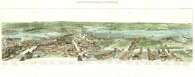
Few images capture their era like this antique map of Cambridge Common, Massachusetts, 1784. It is part of the Snapshots of the Past archive, gathered over 25 years of research.
Order it framed and ready to hang, or unframed to match a frame you already love. It makes a striking addition to a living room, study or office, and a thoughtful gift. Free shipping in the lower 48 states. Snapshots of the Past has been bringing history to the wall since 2001, for tens of thousands of customers worldwide.
Cambridge Common, Massachusetts, 1784
Order a print
Thank you. Your order went through, and a receipt is on its way by email.
Secure checkout · SSL encryptedPowered by Stripe and PayPal
Free shipping in the lower 48 states. The checkout page shows the picture, size and price before you pay.
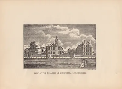
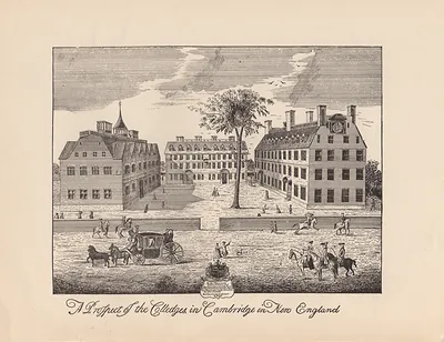
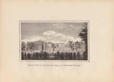
Cambridge, Massachusetts, in 1784 was a small farming and college town just across the Charles River from Boston, and its common still bore the marks of the siege of 1775 and 1776. Washington took command of the Continental Army on the common in July 1775 and used the Wadsworth House near Harvard Yard as his headquarters that winter. By 1784 the war was over, but Massachusetts was struggling with debt, unpaid soldiers' wages, and a shortage of hard money that squeezed farmers in the surrounding towns. Harvard College was working to recover its routine after the war had scattered its classes, and townspeople still used the common for militia drills, grazing, and public gatherings.
| Created / published | 1784 |
|---|---|
| Notes | Bird's-eye view map. |
| Subjects | Panoramic maps--Massachusetts |
| Original scan | 4,490 × 6,422 px · prints to 15 × 21 in at 300 dpi |
| Reference | MA Cambridge Common 1784 |
More from the Panoramic Maps collection
Snapshots of the Past helps heritage brands, museums, historians and storytellers tell stories with history: historic prints, image licensing and historical storytelling drawn from more than 25 years of research and curation.