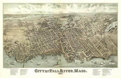
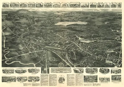
Cambridge Charles River, Massachusetts, 1853 – Vintage Map Wall Art

(Each image is professionally and digitally cleaned of artifacts such as color bars and extra borders prior to printing.)
Description
A window into the past: Cambridge Charles River, Massachusetts, 1853, preserved in this antique map. It is part of the Snapshots of the Past archive, gathered over 25 years of research.
Choose the framed print, ready to hang the day it arrives, or the unframed print for a frame of your own. It makes a striking addition to a living room, study or office, and a thoughtful gift. Free shipping in the lower 48 states. Snapshots of the Past, founded in 2001, has served tens of thousands of customers worldwide.
Cambridge Charles River, Massachusetts, 1853
Order a print
Thank you. Your order went through, and a receipt is on its way by email.
Secure checkout · SSL encryptedPowered by Stripe and PayPal
Free shipping in the lower 48 states. The checkout page shows the picture, size and price before you pay.
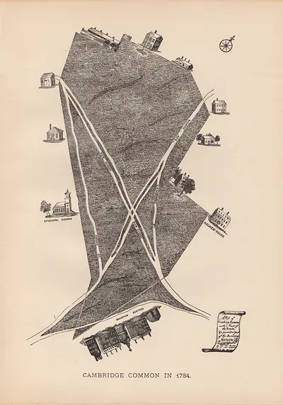
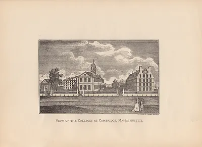
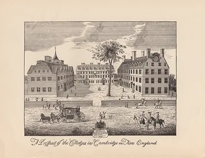
Cambridge, Massachusetts, in 1853 was a city of roughly 15,000 people that sat across the Charles River from Boston and drew much of its life from Harvard College in Harvard Square. East Cambridge had grown into a manufacturing district along the river and the Boston and Lowell Railroad, whose tracks carried mill goods, coal, and commuters. Connected to Boston by bridges and by the rail line, the city was tied closely to the larger port's commerce, even as its own residents worked in shops, foundries, and mills. Mount Auburn Cemetery, laid out in 1831 as one of the country's first rural cemeteries, drew visitors who came to walk its wooded paths and enjoy the views over the river.
| Created / published | 1853 |
|---|---|
| Notes | Bird's-eye view map. |
| Subjects | Panoramic maps--Massachusetts |
| Original scan | 9,569 × 3,794 px · prints to 32 × 13 in at 300 dpi |
| Reference | MA-Cambridge-Charles River-1853 |
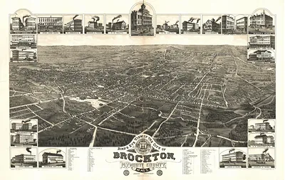
More from the Panoramic Maps collection
Snapshots of the Past helps heritage brands, museums, historians and storytellers tell stories with history: historic prints, image licensing and historical storytelling drawn from more than 25 years of research and curation.