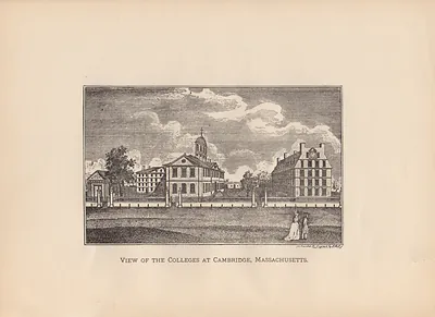
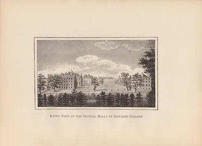
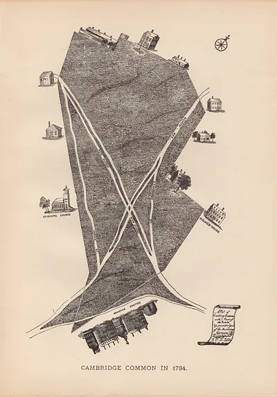
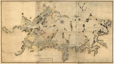
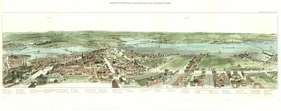
Colleges at Cambridge (2), Massachusetts, 1700 – Historic Map Reproduction

(Each image is professionally and digitally cleaned of artifacts such as color bars and extra borders prior to printing.)
Description
This rare antique map captures Colleges at Cambridge (2), Massachusetts, 1700 in remarkable detail. It is part of the Snapshots of the Past archive, gathered over 25 years of research.
Order it framed and ready to hang, or unframed to match a frame you already love. It makes a striking addition to a living room, study or office, and a thoughtful gift. Free shipping in the lower 48 states. Snapshots of the Past, founded in 2001, has served tens of thousands of customers worldwide.
Colleges at Cambridge (2), Massachusetts, 1700
Order a print
Thank you. Your order went through, and a receipt is on its way by email.
Secure checkout · SSL encryptedPowered by Stripe and PayPal
Free shipping in the lower 48 states. The checkout page shows the picture, size and price before you pay.
In 1700 Cambridge, Massachusetts, was a town of farms, orchards, and wood-frame houses, and the college yard was its most visible landmark. Massachusetts had operated under a royal charter since 1691, and Harvard graduates were already filling pulpits across New England and seats in the colony's councils. Most townspeople sold grain, livestock, and firewood to Boston across the Charles River, and the students who boarded in town were a steady source of business for local households. Travelers coming by road from the west would have seen a cluster of brick and timber college buildings rising above the farmsteads. Few residents that year could have imagined how the town's name would later become tied to learning across the country.
| Created / published | 1700 |
|---|---|
| Notes | Bird's-eye view map. |
| Subjects | Panoramic maps--Massachusetts |
| Original scan | 5,820 × 4,476 px · prints to 19 × 15 in at 300 dpi |
| Reference | MA Colleges at Cambridge (2) 1700s |
More from the Panoramic Maps collection
Snapshots of the Past helps heritage brands, museums, historians and storytellers tell stories with history: historic prints, image licensing and historical storytelling drawn from more than 25 years of research and curation.