Colleges at Cambridge, Massachusetts, 1700 – Historic Map Reproduction

(Each image is professionally and digitally cleaned of artifacts such as color bars and extra borders prior to printing.)
Description
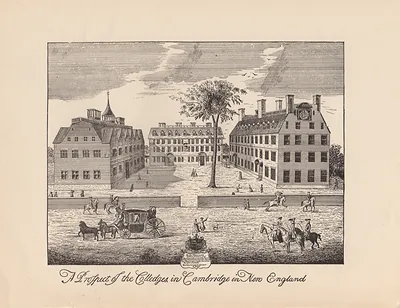
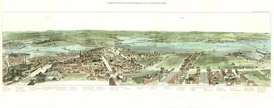
Step back in time with Colleges at Cambridge, Massachusetts, 1700, an antique map rich in period detail. It comes from the Snapshots of the Past collection, curated over 25 years for its historical value.
Framed, it is ready for the wall; unframed, it is ready for the frame you choose. It makes a striking addition to a living room, study or office, and a thoughtful gift. Free shipping in the lower 48 states. Since 2001, Snapshots of the Past has shipped historic prints to tens of thousands of customers around the world.
Colleges at Cambridge, Massachusetts, 1700
Order a print
Thank you. Your order went through, and a receipt is on its way by email.
Secure checkout · SSL encryptedPowered by Stripe and PayPal
Free shipping in the lower 48 states. The checkout page shows the picture, size and price before you pay.
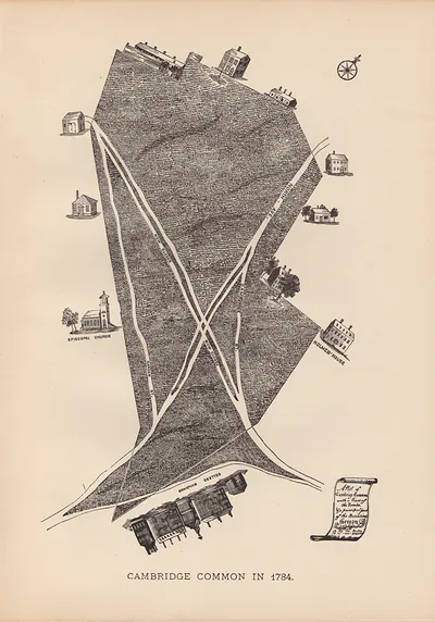
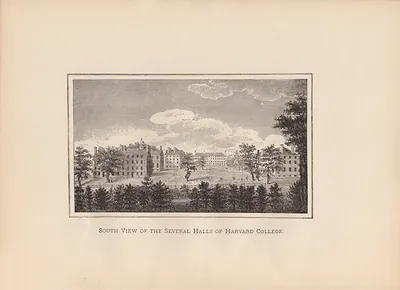
In 1700 Cambridge, Massachusetts, was a small farming town on the Charles River, and Harvard College, founded in 1636, was its best-known institution. The college had only a few buildings, and Harvard Hall, put up in 1672, stood among them as a center of teaching and student life. Its president, Increase Mather, led the college while Boston's ministers and merchants looked to it to train young men for the church and public office. Most townspeople earned their living from the land, and the college and its students were a constant presence in daily affairs. Cambridge's connection to the colony's religious and political life would matter again a century later, when Washington's army made its headquarters in the town in 1775.
| Created / published | 1700 |
|---|---|
| Notes | Bird's-eye view map. |
| Subjects | Panoramic maps--Massachusetts |
| Original scan | 6,332 × 4,606 px · prints to 21 × 15 in at 300 dpi |
| Reference | MA Colleges at Cambridge 1700s |
More from the Panoramic Maps collection
Snapshots of the Past helps heritage brands, museums, historians and storytellers tell stories with history: historic prints, image licensing and historical storytelling drawn from more than 25 years of research and curation.