Columbia, Pennsylvania, 1894 bird's-eye view map – Antique Map Print

(Originally scanned by the Library of Congress. Each image is professionally and digitally cleaned of artifacts such as color bars and extra borders prior to printing.)
Description
Columbia, Pennsylvania, 1894 bird's-eye view map comes to life in this antique map, reproduced from the original with every detail intact. It comes from the collections of the Library of Congress, scanned from the original and carefully restored.
Library of Congress record: Columbia, Pennsylvania 1894
Choose the framed print, ready to hang the day it arrives, or the unframed print for a frame of your own. It brings character to any room and makes a memorable gift. Free shipping in the lower 48 states. Snapshots of the Past, founded in 2001, has served tens of thousands of customers worldwide.
Columbia, Pennsylvania, 1894 bird's-eye view map
Order a print
Thank you. Your order went through, and a receipt is on its way by email.
Secure checkout · SSL encryptedPowered by Stripe and PayPal
Free shipping in the lower 48 states. The checkout page shows the picture, size and price before you pay.
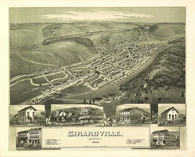
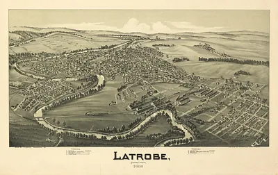
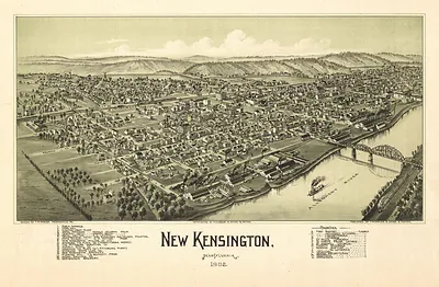
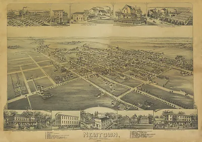
Columbia's 1894 bird's-eye view shows the borough on the Susquehanna River in Lancaster County, drawn as if seen from a high oblique angle so that streets, rooftops, rail lines, and the riverfront appear together on one sheet. Views like this were produced by panoramic map makers such as T. M. Fowler and James B. Moyer, who traveled towns to record buildings and street layouts for local boosters and residents. Columbia's river, canal, and railroad connections made it a busy working town in the 1890s, and the map is useful for seeing how those routes shaped its growth.
| Created / published | 1894 |
|---|---|
| Creator | moyer, james b., fowler, t. m. (thaddeus mortimer) |
| Source | Library of Congress, Panoramic Maps |
| Original scan | 4,144 × 3,056 px · prints to 14 × 10 in at 300 dpi |
| Library of Congress title | Columbia, Pennsylvania 1894 |
| Reference | PA-Columbia-1894 |
More from the PAN MAPS collection
Snapshots of the Past helps heritage brands, museums, historians and storytellers tell stories with history: historic prints, image licensing and historical storytelling drawn from more than 25 years of research and curation.