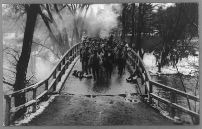
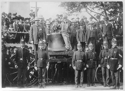
3 b 03007_Bythe Rude Bridge April 191775.tif, Massachusetts – Antique Map Print

(Each image is professionally and digitally cleaned of artifacts such as color bars and extra borders prior to printing.)
Description
This antique map of 3 b 03007_Bythe Rude Bridge April 191775.tif, Massachusetts brings a moment of history to your wall. It is part of the Snapshots of the Past archive, gathered over 25 years of research.
Order it framed and ready to hang, or unframed to match a frame you already love. A fine choice for anyone who loves history, and a gift that gets noticed. Free shipping in the lower 48 states. Snapshots of the Past, founded in 2001, has served tens of thousands of customers worldwide.
3 b 03007_Bythe Rude Bridge April 191775.tif, Massachusetts
Order a print
Thank you. Your order went through, and a receipt is on its way by email.
Secure checkout · SSL encryptedPowered by Stripe and PayPal
Free shipping in the lower 48 states. The checkout page shows the picture, size and price before you pay.
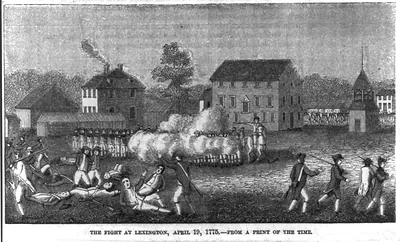
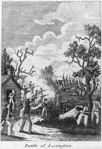
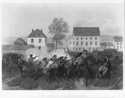
**Concord, Massachusetts, April 19, 1775.** Concord was a farming and milling town on the Concord River, about 20 miles west of Boston, with its own meetinghouse, mills, and a supply of militia gunpowder and provisions. On the morning of April 19, British regulars marched out from Boston to seize those stores, and local militia and minutemen gathered to resist them. At the North Bridge, militiamen stood their ground and fired on the British, who then withdrew toward Boston while fighting broke out along the road back. Later generations remembered the spot through Ralph Waldo Emerson's "Concord Hymn," written for the 1836 dedication of the battle monument near that bridge.
| Notes | Bird's-eye view map. |
|---|---|
| Subjects | Panoramic maps--Massachusetts |
| Original scan | 3,278 × 2,100 px · prints to 11 × 7 in at 300 dpi |
| Reference | AMZ-SOTP-HPA-131211 |
More from the Panoramic Maps collection
Snapshots of the Past helps heritage brands, museums, historians and storytellers tell stories with history: historic prints, image licensing and historical storytelling drawn from more than 25 years of research and curation.