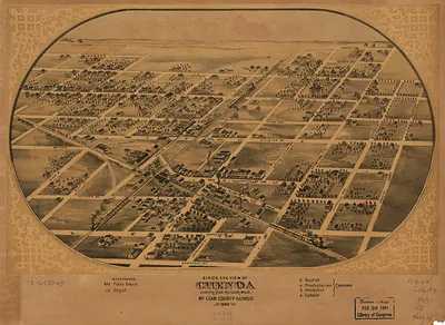
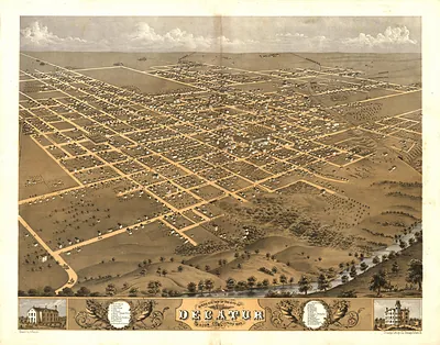
Champaign, Illinois, 1869 – Vintage Map Wall Art

(Originally scanned by the Library of Congress. Each image is professionally and digitally cleaned of artifacts such as color bars and extra borders prior to printing.)
Description
Champaign, Illinois, 1869 comes to life in this antique map, reproduced from the original with every detail intact. It comes from the collections of the Library of Congress, scanned from the original and carefully restored.
Library of Congress record: Bird's eye view of the city of Champaign, Champaign County, Illinois 1869
Choose the framed print, ready to hang the day it arrives, or the unframed print for a frame of your own. It brings character to any room and makes a memorable gift. Free shipping in the lower 48 states. Snapshots of the Past has been bringing history to the wall since 2001, for tens of thousands of customers worldwide.
Champaign, Illinois, 1869
Order a print
Thank you. Your order went through, and a receipt is on its way by email.
Secure checkout · SSL encryptedPowered by Stripe and PayPal
Free shipping in the lower 48 states. The checkout page shows the picture, size and price before you pay.
Champaign in 1869 was a young railroad town on the Illinois prairie, and it shared Champaign County with its neighbor Urbana, the county seat. The Illinois Central line, which had reached the area in the mid-1850s, drew farm produce such as corn, wheat, and livestock to market and helped the settlement grow around its depot. Residents were also watching the new Illinois Industrial University, chartered in 1867 under the federal land-grant act and opened in 1868 with the aim of teaching agriculture and mechanical arts. The school's presence, set between the two towns, gave the community a new civic identity and a stake in the rivalry over which town would hold the future. Much of the surrounding land was open prairie being broken into farms, and the town's streets, churches, and businesses were still expanding outward from the tracks.
| Created / published | 1869 |
|---|---|
| Creator | ruger, a., chicago lithographing co |
| Notes | Bird's-eye view map. |
| Subjects | Panoramic maps--Illinois |
| Source | Library of Congress, Panoramic Maps |
| Original scan | 8,848 × 6,928 px · prints to 29 × 23 in at 300 dpi |
| Library of Congress title | Bird's eye view of the city of Champaign, Champaign County, Illinois 1869 |
| Reference | IL-Champaign-1869 |
More from the Panoramic Maps collection
Snapshots of the Past helps heritage brands, museums, historians and storytellers tell stories with history: historic prints, image licensing and historical storytelling drawn from more than 25 years of research and curation.