Warwick Rocky Point, Rhode Island – Historic Map Reproduction

(Each image is professionally and digitally cleaned of artifacts such as color bars and extra borders prior to printing.)
Description
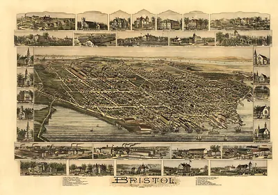
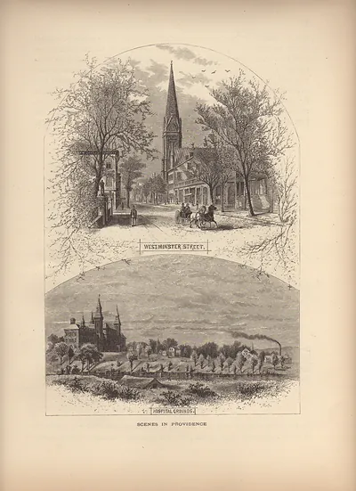
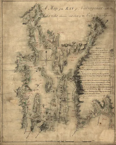
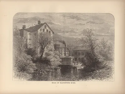
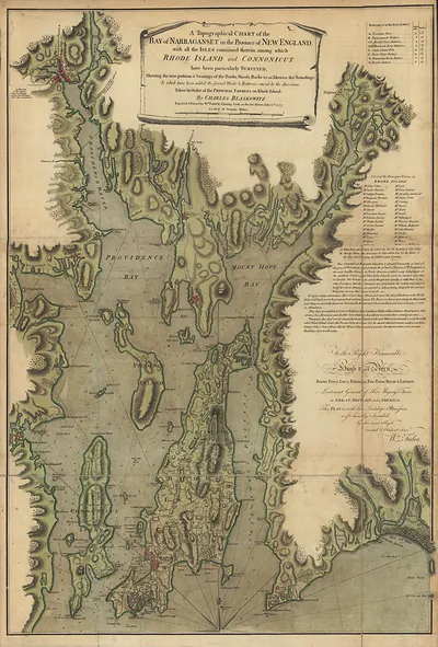
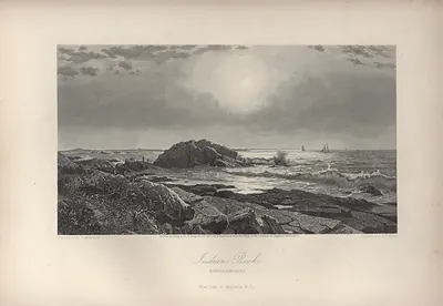
Warwick Rocky Point, Rhode Island comes to life in this antique map, reproduced from the original with every detail intact. It is part of the Snapshots of the Past archive, gathered over 25 years of research.
The framed print arrives ready to hang; the unframed option suits custom framing. Perfect for a home, office, library or classroom wall, and a gift with a story behind it. Free shipping in the lower 48 states. Snapshots of the Past, founded in 2001, has served tens of thousands of customers worldwide.
Warwick Rocky Point, Rhode Island
Order a print
Thank you. Your order went through, and a receipt is on its way by email.
Secure checkout · SSL encryptedPowered by Stripe and PayPal
Free shipping in the lower 48 states. The checkout page shows the picture, size and price before you pay.
Rocky Point, on the Warwick shore of Narragansett Bay, was a well-known summer resort in the late 1800s, drawing city families who came by steamboat from Providence and by rail from across the state. Its bluffs, bathing beaches, hotels and shore dinners gave Rhode Islanders a place to spend warm afternoons on the water, while Warwick itself remained a town of farms and villages whose residents knew the point as a neighbor's seasonal business. Dance pavilions, amusements and boat landings expanded as the park grew, and the crowds supported a busy seasonal trade along the bay. The 1938 hurricane later devastated much of the park, and parts of it were rebuilt in the years that followed.
| Notes | Bird's-eye view map. |
|---|---|
| Subjects | Panoramic maps--Rhode Island |
| Original scan | 1,800 × 750 px · prints to 6 × 2 in at 300 dpi |
| Reference | RI Warwick Rocky Point |
More from the Panoramic Maps collection
Snapshots of the Past helps heritage brands, museums, historians and storytellers tell stories with history: historic prints, image licensing and historical storytelling drawn from more than 25 years of research and curation.