Narraganset Bay, Rhode Island, 1777 – Antique Wall Map

(Each image is professionally and digitally cleaned of artifacts such as color bars and extra borders prior to printing.)
Description
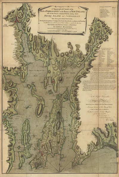
Step back in time with Narraganset Bay, Rhode Island, 1777, an antique map rich in period detail. It is part of the Snapshots of the Past archive, gathered over 25 years of research.
Framed, it is ready for the wall; unframed, it is ready for the frame you choose. A conversation-starting piece for home, office, or as a meaningful gift. Free shipping in the lower 48 states. Snapshots of the Past has been bringing history to the wall since 2001, for tens of thousands of customers worldwide.
Narraganset Bay, Rhode Island, 1777
Order a print
Thank you. Your order went through, and a receipt is on its way by email.
Secure checkout · SSL encryptedPowered by Stripe and PayPal
Free shipping in the lower 48 states. The checkout page shows the picture, size and price before you pay.
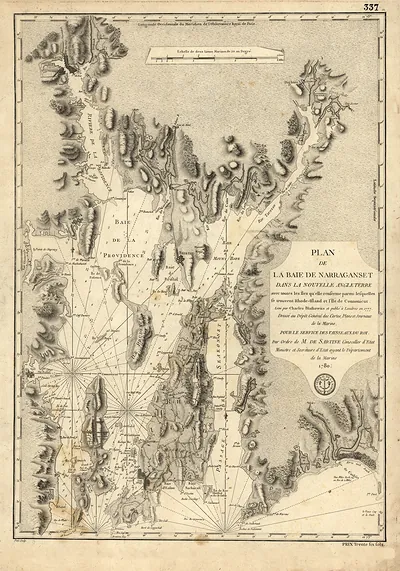
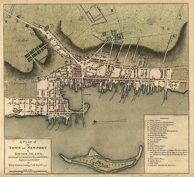
Narragansett Bay in 1777 was a waterway at war. British troops had held Newport since December 1776, ending the town's long run as one of the busiest colonial ports, where merchants had shipped rum, candles, and lumber and built a reputation in shipbuilding. The occupation cut off that trade, and the islands and shoreline became contested ground, with privateers and patrol boats working the waters between Providence and the open Atlantic. Providence, at the head of the bay, became the center of Patriot government and commerce, with Governor Nicholas Cooke's administration operating from there. Residents on both shores would have known the bay less as a scenic harbor than as a line between occupied and free Rhode Island.
| Created / published | 1777 |
|---|---|
| Notes | Bird's-eye view map. |
| Subjects | Panoramic maps--Rhode Island |
| Original scan | 1,023 × 1,285 px · prints to 3 × 4 in at 300 dpi |
| Reference | RI-Narraganset Bay 1777 |
More from the Panoramic Maps collection
Snapshots of the Past helps heritage brands, museums, historians and storytellers tell stories with history: historic prints, image licensing and historical storytelling drawn from more than 25 years of research and curation.