Wellesley College From Harpers Weekly 1876 2, Massachusetts – Vintage Map Wall Art

(Each image is professionally and digitally cleaned of artifacts such as color bars and extra borders prior to printing.)
Description
This antique map of Wellesley College From Harpers Weekly 1876 2, Massachusetts brings a moment of history to your wall. Drawn from the Snapshots of the Past archive, it is an authentic piece of documented history.
Choose the framed print, ready to hang the day it arrives, or the unframed print for a frame of your own. Perfect for a home, office, library or classroom wall, and a gift with a story behind it. Free shipping in the lower 48 states. Snapshots of the Past, founded in 2001, has served tens of thousands of customers worldwide.
Wellesley College From Harpers Weekly 1876 2, Massachusetts
Order a print
Thank you. Your order went through, and a receipt is on its way by email.
Secure checkout · SSL encryptedPowered by Stripe and PayPal
Free shipping in the lower 48 states. The checkout page shows the picture, size and price before you pay.
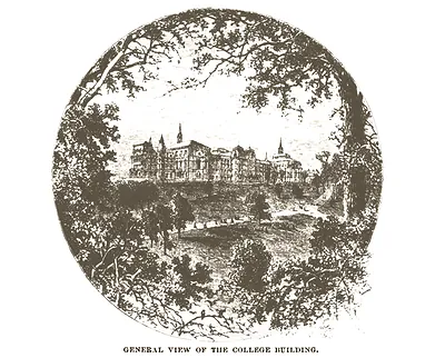
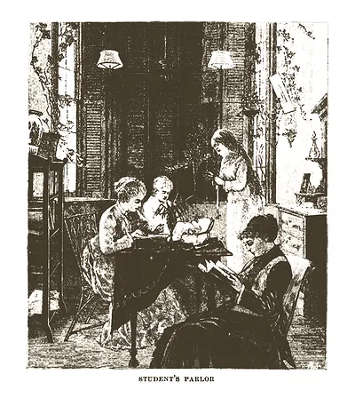
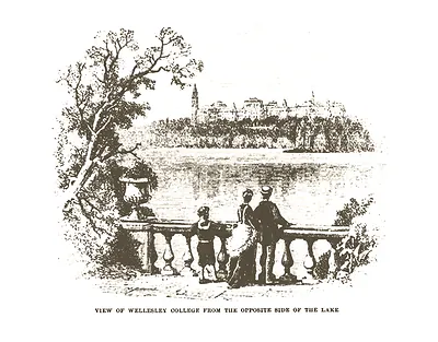
In 1876, Wellesley College was barely a year into its first academic term, set on rising ground above Lake Waban in the rural village of Wellesley, a few miles west of Boston. Henry Durant, a Boston lawyer, had founded the school in 1870 to give young women a college education on the same serious footing that men's colleges offered, and it opened in 1875 with its large Main Building as the centerpiece. The Boston and Albany Railroad ran nearby, which let students arrive from across New England, though the village itself stayed small and largely agricultural. Readers of the period would have known the college as a bold experiment in women's higher education, still proving that the idea could work.
| Notes | Bird's-eye view map. |
|---|---|
| Subjects | Panoramic maps--Massachusetts |
| Original scan | 6,600 × 4,560 px · prints to 22 × 15 in at 300 dpi |
| Reference | Wellesley College From Harpers Weekly 1876 2 |
More from the Panoramic Maps collection
Snapshots of the Past helps heritage brands, museums, historians and storytellers tell stories with history: historic prints, image licensing and historical storytelling drawn from more than 25 years of research and curation.